Next 2 days
For the next two days we visited many beautiful sights. We visited Thingvellir National Park and Kerid Crater then checked into our stay at Fludir (Austurhof 5) to relax for the rest of the day. The next day we visited Faxafoss, Geysir and Gullfoss Falls and returned to our stay at Fludir for the night.
For both the days our pace was not rushing and at each place we had plentiful of time to explore.

Thingvellir National Park
From Reykjavik to Thingvellir National Park was less than an hour drive. The distance was about 48 km. The drive was pretty straight forward and the road was good. Thingvellir ( Þingvellir) was Iceland’s first National Park and it was established in 1928. It was listed as a UNESCO world heritage site.

We were not sure which should be the best carpark to park our car and start our walk into Thingvellir National Park. We drove passed carpark 1, carkpark 2 and carkpark 3, then we reached a branch and turned left as on the google map there was a location marked “Hidden Crevasse”. At the location there was no clear path and we did not know how to proceed. We did not see any “magnificient” scenery so we drove back to “Thingvellir National Park Service Centre”, at the start of the branch. There we were advised to go back to carpark 1.
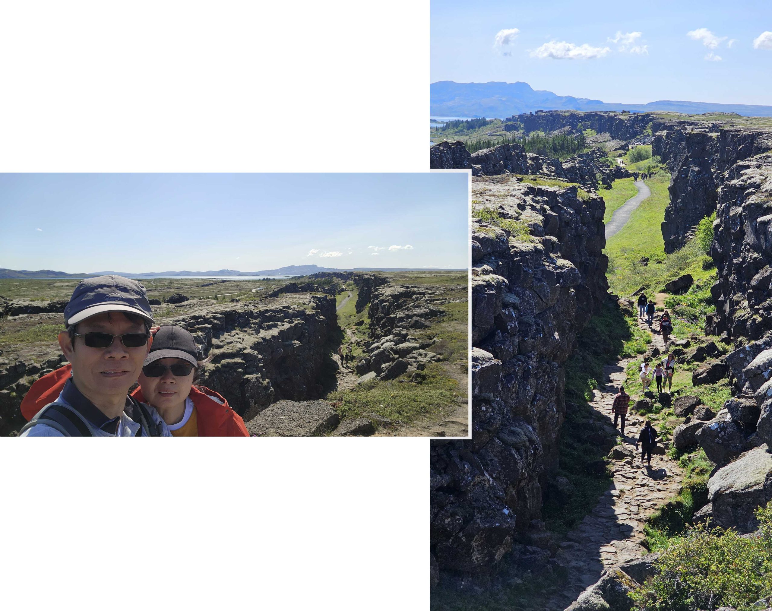
There was no fee for entering Thingvellir National Park. But parking at the carparks was not free. We paid 750 ISK for parking at P1 and payment was made at a parking machine. There we began our walk on a path that led into the Almannagjá Gorge of Thingvellir National Park. Wow! the place was absolutely stunning.

Almannagjá marked the boundary of the Mid-Atlantic Rift, which ran through Iceland. This rift was the space between the North American and Eurasian tectonic plates. The lava fields at Thingvellir were torn apart by tectonic forces leaving behing beautiful fissures and gorges.
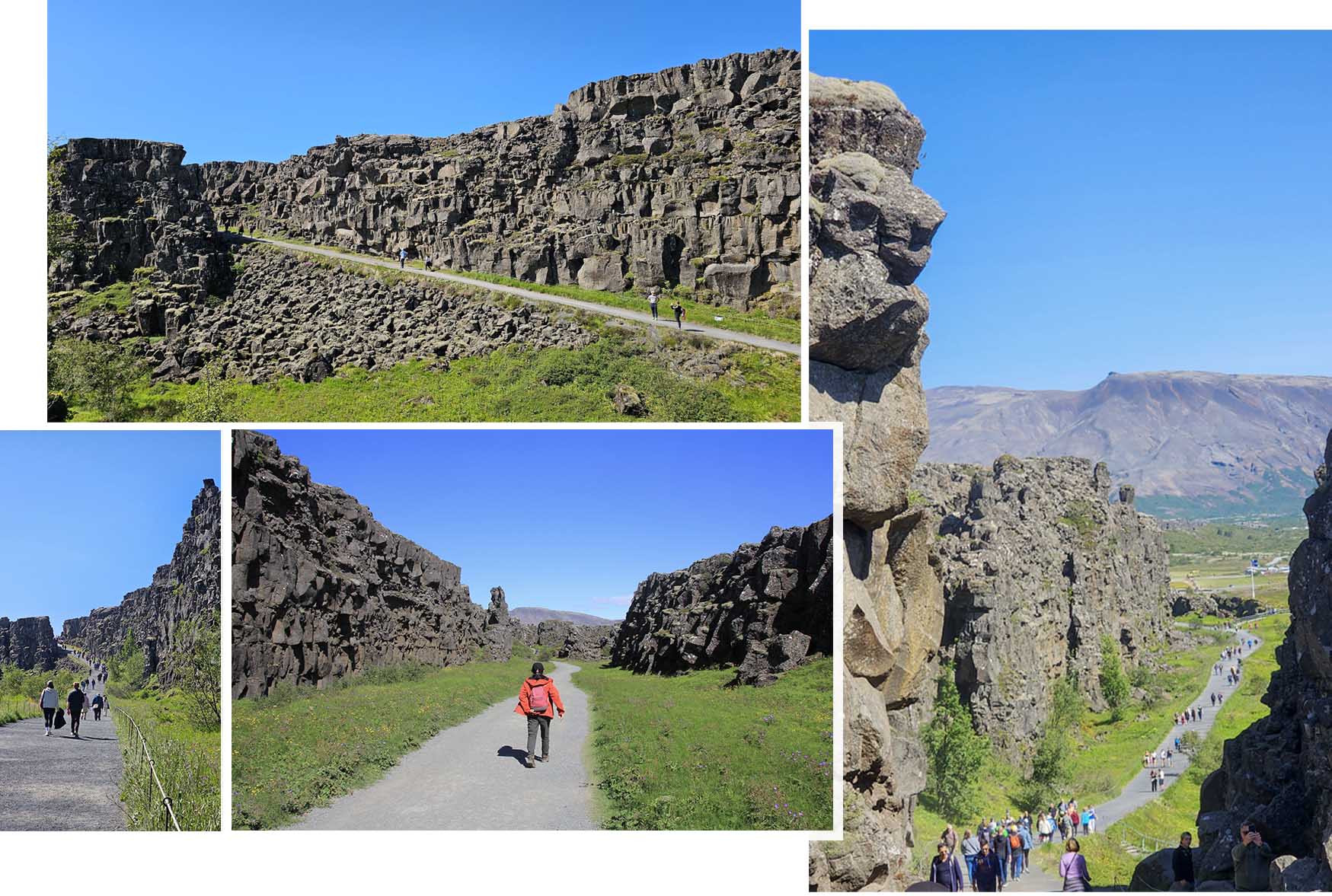
A well maintained path led us through a enormous cleft, it was awesome to be enveloped by giganitc basalt rock walls on both sides. We saw the “law rock” and Öxará river. Logberg or the Law Rock was where the first parliament, Aithing ( supreme national parliament of Iceland) one of the oldest parliaments in the world, was believed to have gathered. Since AD 930, this significant site had borne witness to numerous rulings, changes in the law by the law speaker, justice being served by the law council and national announcements.
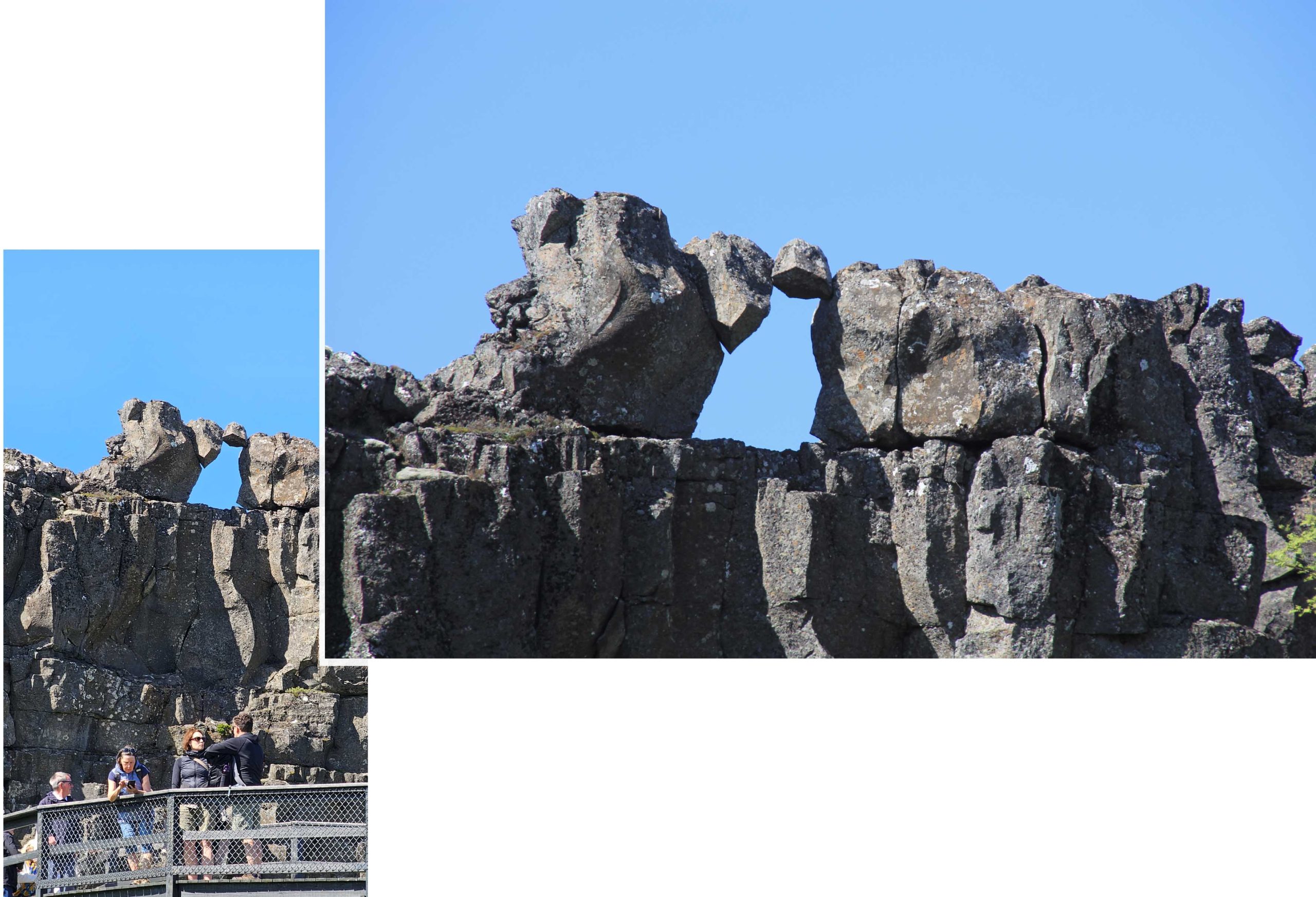
As we walked on we saw an interesting rock structure. It was a hole in the rock formed by a couple of rocks stacked together. Looking at it we definitely wondered if the hole formation was natural or man-made.
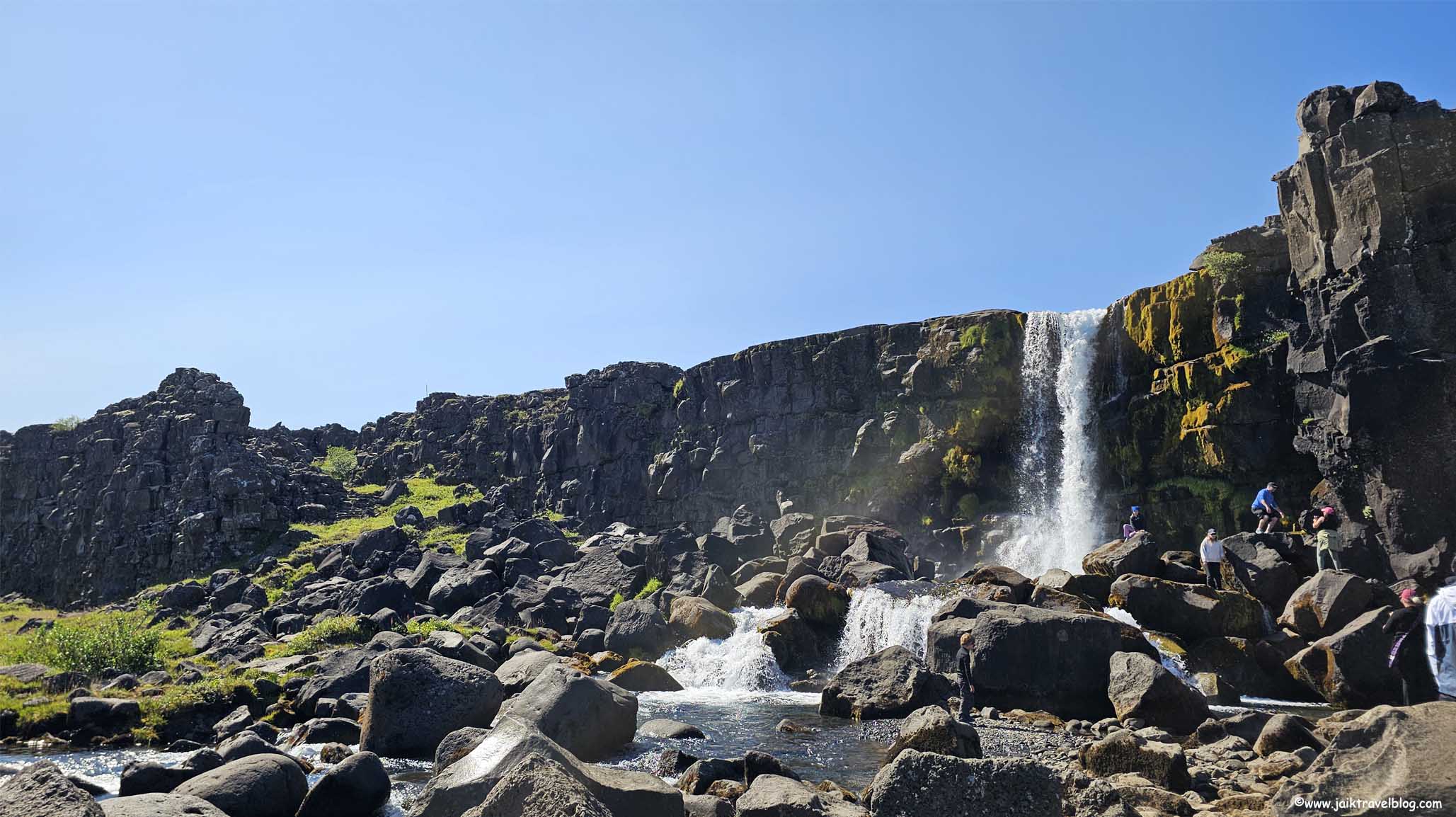
The trek soon led us to Oxararfoss. The waterfall flowed out the river Oxara and cascaded over the cliffs of Almannagja gorge. The height of the waterfall was about 13 meters and it had an average width of 6 meters. It was not a huge waterfall but it still brought delights to youngs and olds as they went scrambling over large rocks at the base of the waterfall. We saw the waterfall from the bottom but there were others who parked at carpark P3 and trekked though a trail that led the upper part of the waterfall.
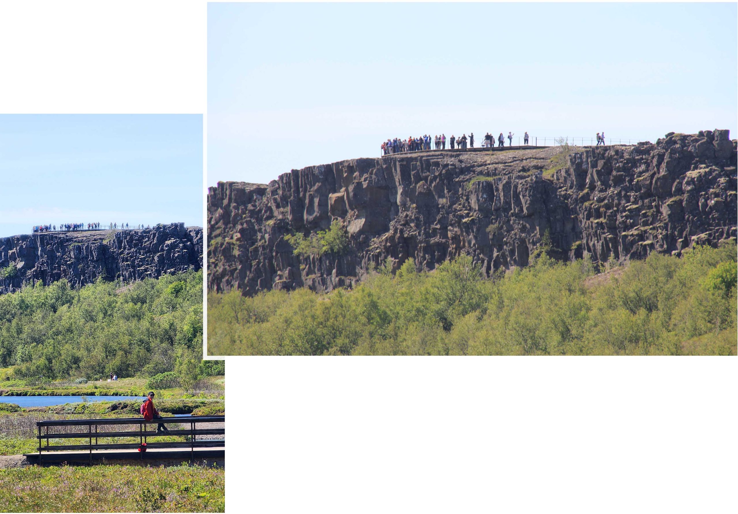
We continued our wall into the gorge and came to a rocky path that when up the cliff. This was the “Dead Man Walk”. At the top of cliff we had a wonderful view of the gorge! After a couple of photoshoots we went back down to the gorge again. There was another route that went further into the gorge, but the landscape looked similar to those we had already seen, so we backtracked to Oxararfoss.
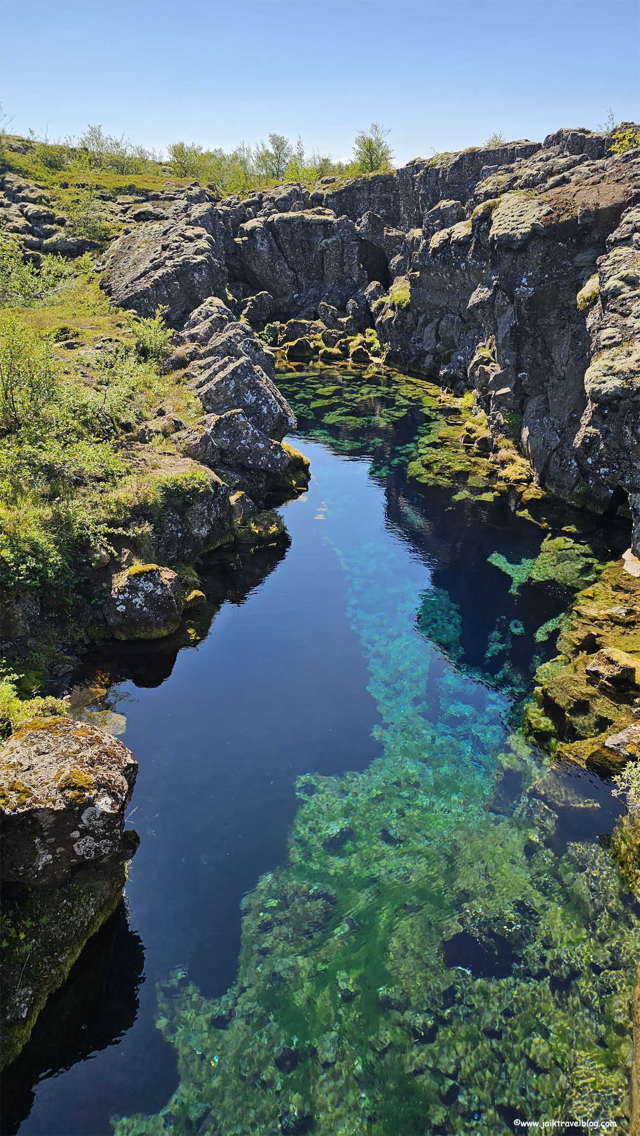
Back at Oxarafoss we took another path to return to carpark 1. Along the way we detoured and chanced upon Peningagja (Coin Fissure). It was a fissure filled with turquoise clear blue water. Looking closely it was probably the moss growing in the fissure that give the water its turquoise sheen. There were some sparkles at the base of the fissure which we read online were coins threw in by tourists making wishes.
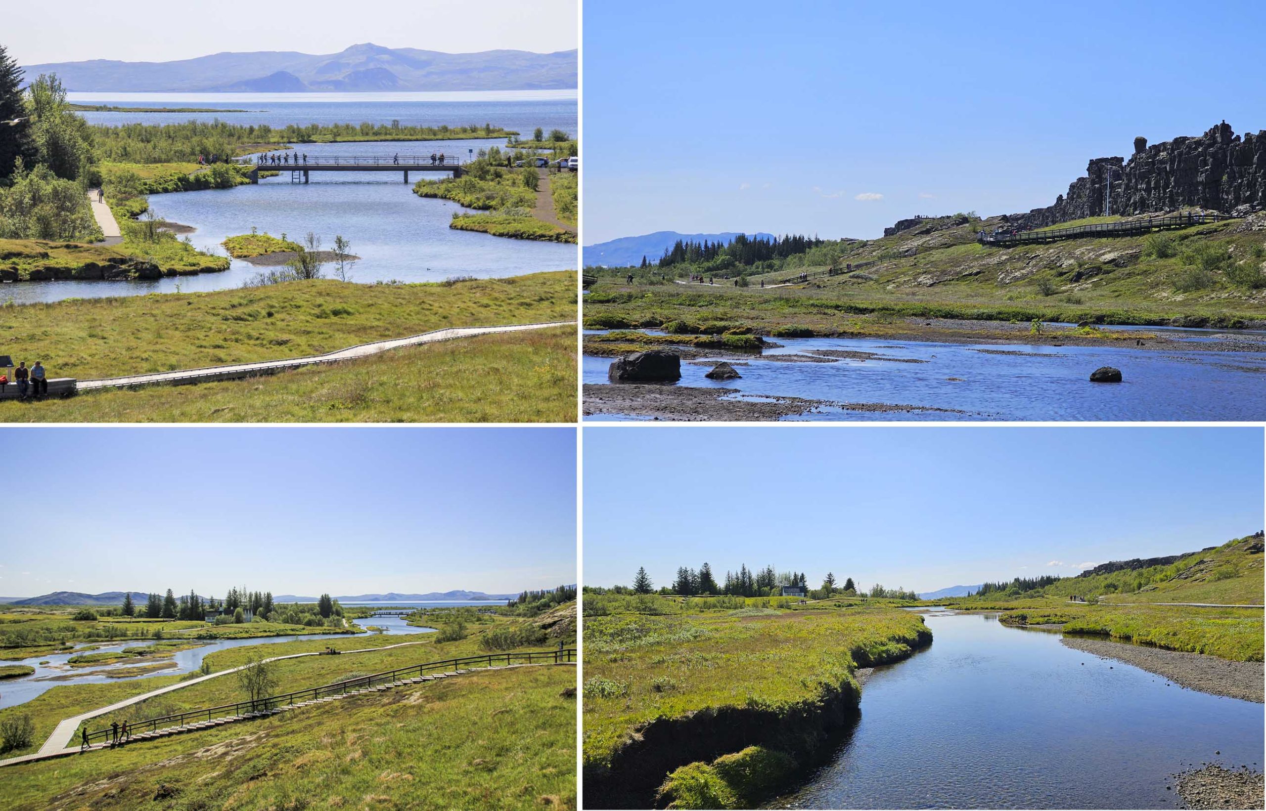
The Oxara river flowing through the gorge via Oxarafoss and fed into Thingvallavatn. The surface area of the lake was 84 square meter, making it the largest natural lake in Iceland. The northern shore of the lake laid within the National Park.
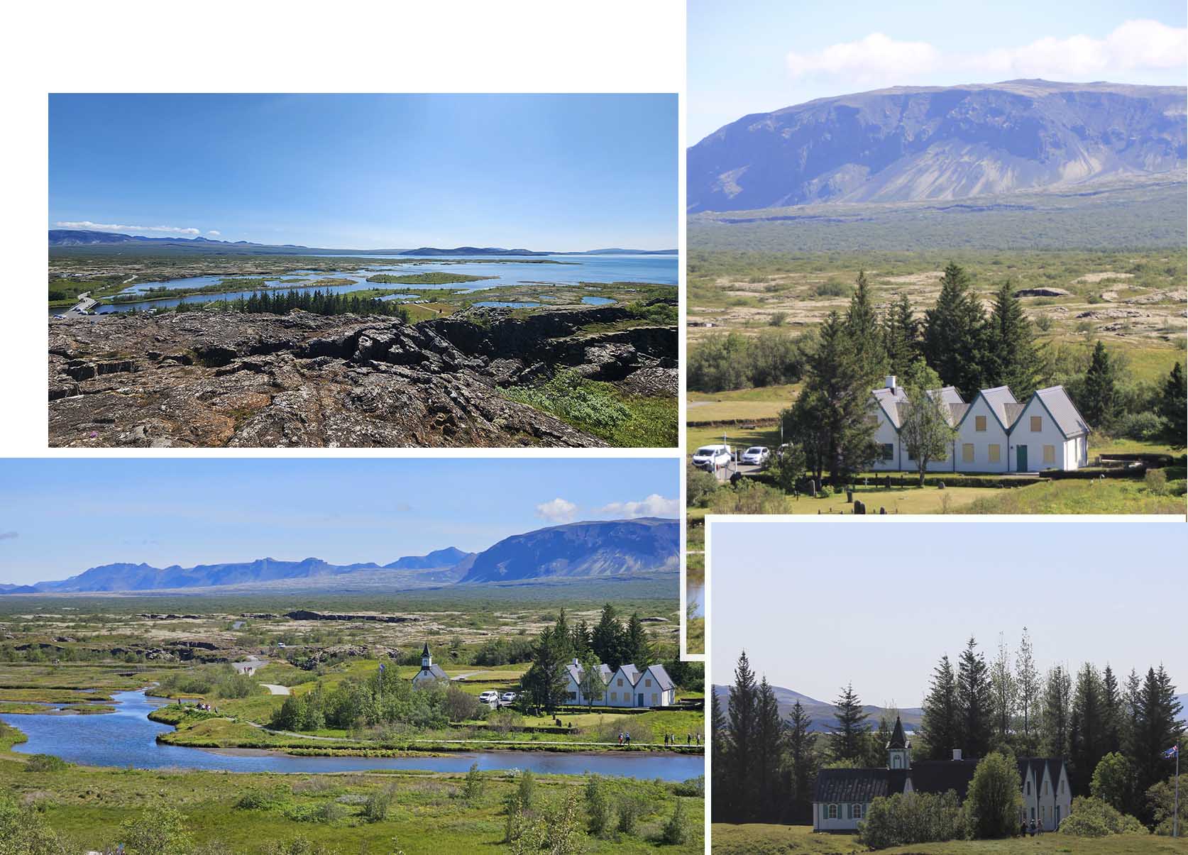
Sitting in the gorge was Thingvellir Church (Þingvallakirkja). It was one of Iceland’s first churches. The original churh was built in the 11th century, but the current one was built in 1859.
Kerid Crater
At just after 3 pm we were done with Thingviller National Park and drove about 40 minutes to Kerid Crater (our second destination of the day) which was about 43km south of the national park.

At Kerid Crater there was a carpark, and the ticketing booth was just beside it. The entrance fee was 450 ISK per person.

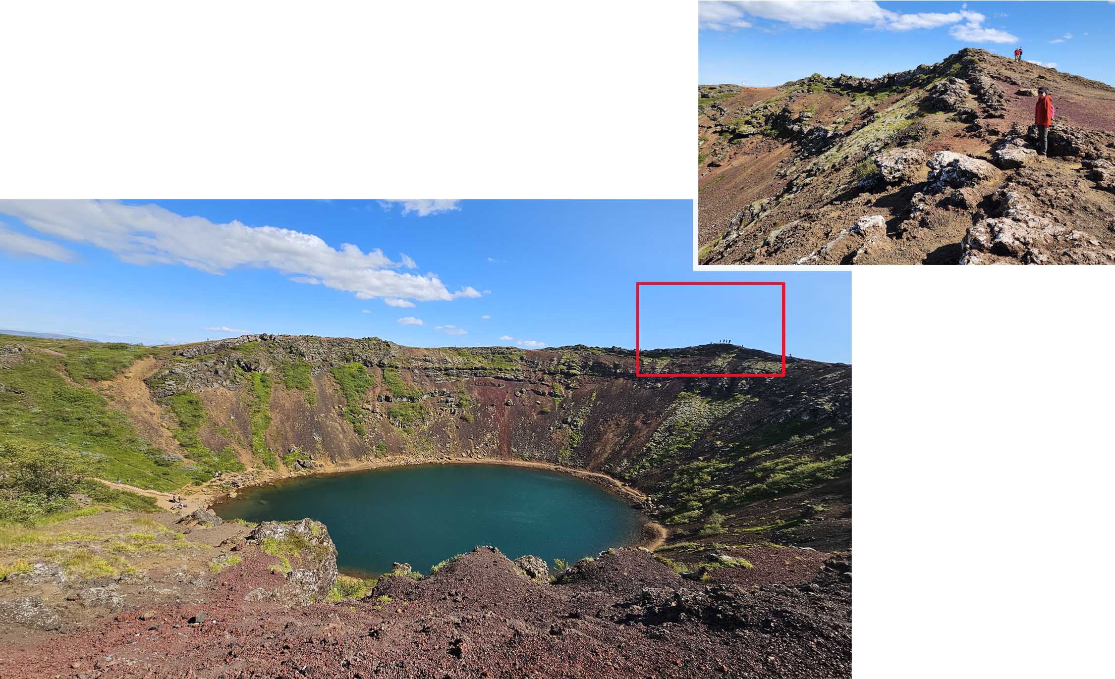
Kerid Crater was about three thousand years old. The iron deposits were the major reason that the slopes of the crater was red. Kerid was approximately 55 metres deep, 170 metres wide and 270 metre in circumference. We saw that there was a path on the left side that lead down to the water but decided to walk round the top circumference.
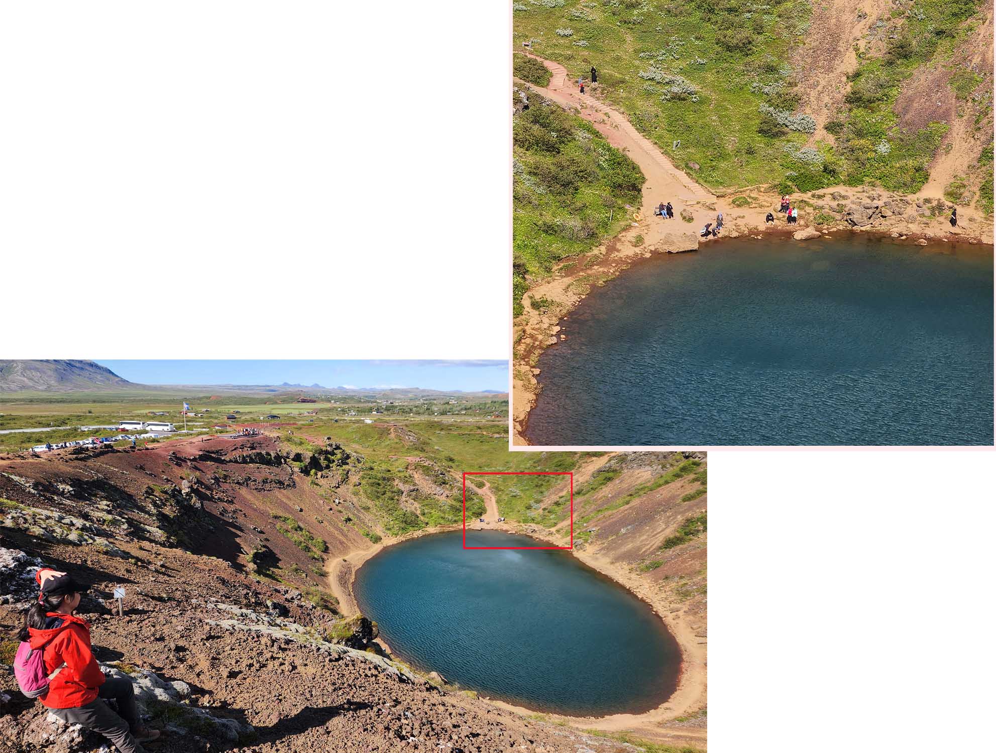
There was a dirt path that fully went round the crater at the top. The path was not paved and required attention to walk carefully over the rocks and holes.
Our stay
Our stay was in the town of Fludir, it was “flat” (studio) which was booked on Airbnb. The distance from Kerid Crater to Fludir was 39km and it took about 30 minutes to reach the small town.

The flat was part of a bigger house and we had to enter our “flat” from the side of the house. There was nobody in the house so we let ourselves into our “flat” using the key in the lock box.

The flat/studio was rather small. It had everything we need, bed, sofa, toilet, kitchen equipped with oven, stove, fridge and microwave. The place was a tight squeeze, the sofa, the bed, the kitchen counter, the kitchen table , the fridge were side by side leaving very little space to move about.

The cost for two nights was SGD$344 (34400 isk) which was one the cheaper accommodations around the vicinity considering that we had our own kitchen to cook what we liked.

We understood that decent dining in Iceland was very costly so we came prepared to cook as often as possible. For this trip we brought many canned food in our luggage and bought fresh vegetable, cheese, butter and meat from the local supermarkets to cook our meals (breakfast and dinner). At our stay in Fludir, we had pasta, pizza, toast with mayo tuna. The only issue we had while cooking in our flat was the ventilation. The food smell lingered well long after dinner.
