Our plan for the day was to see one waterfall, a glacier and a lagoon but we ended up seeing four waterfalls. The other three falls were somehow along the route so they slipped into our itinerary.
Foss a Sidu
Just 13 km after our drive from Klausturhof Guesthouse we saw a narrow and high waterfall cascading over the side of a high cliff. We parked our car by the side of the road when we saw a set-in to come down and explore the falls.

The path to the waterfall was barricaded by a fence. We supposed the falls was on private land so did not want to go passed the fences. The falls though was not huge was pretty “attention grabbing” when we saw it from the main road (Ring road). Its “white thin casade” stood up from the black cliff and the surrounding green slopes/hills and farm houses made the scene very enchanting. Wow, imagined your personal backyard waterfall!
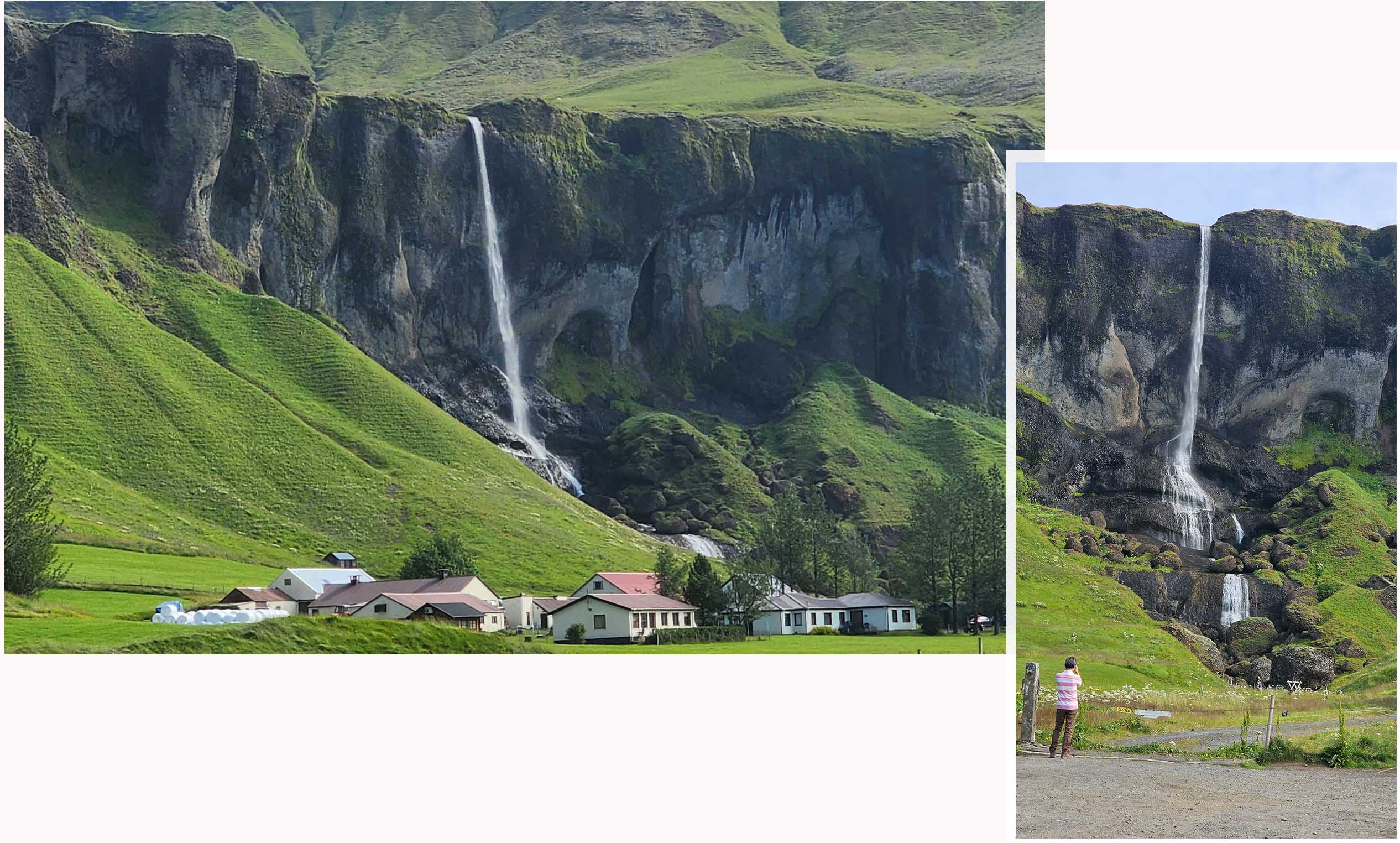
At the fence to Foss a Sidu we met a “new friend”, it was a black collier! It ran to us with a big rock in its mouth and dropped the rock at Yat Thong’s feet while wagging his tail eagerly.

Fossálar Waterfall
Two kilometers from Foss a Sidu as we drove on the main road (Ring road) we saw another waterfall. This was Fossalar Waterfall. Again this was not a huge waterfall but it still looked pretty cascading over the vast green land.
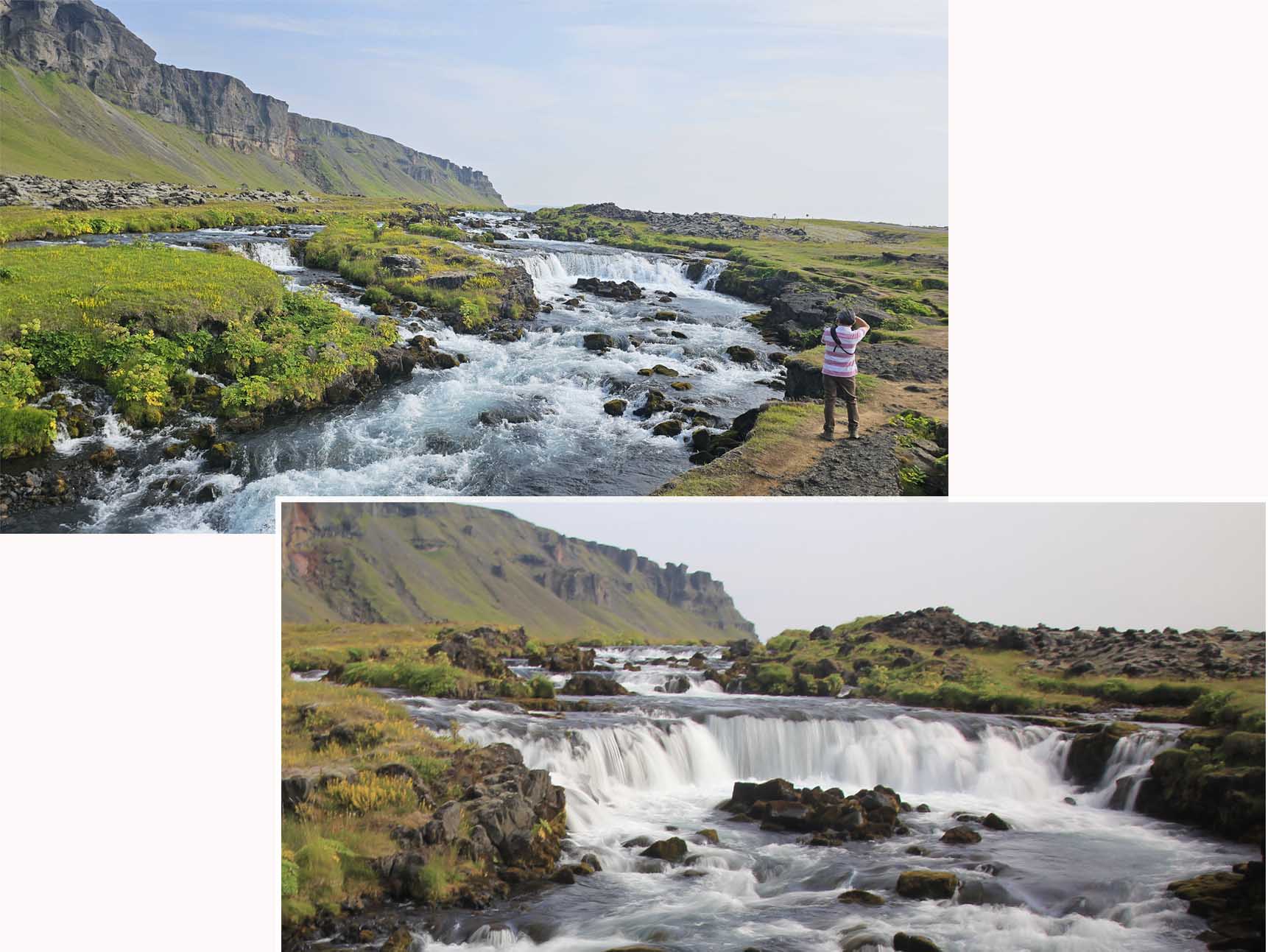
Fossalar Waterfall
vatnajökull
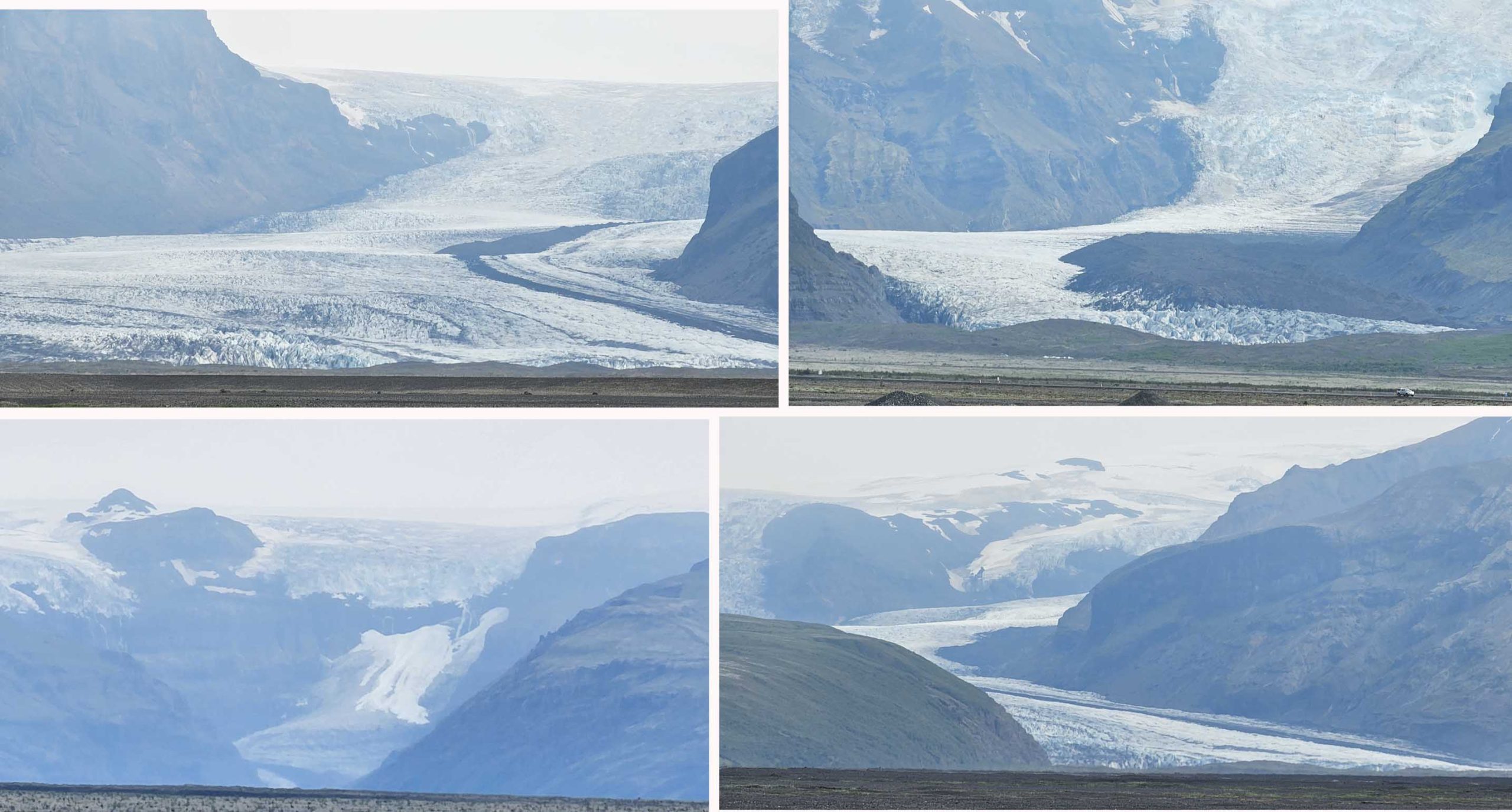
Vatnajokull was the largest most voluminous ice cap in Iceland and the largest in Europe. It covered approximated 10% of the country over an area of 8100 square km with an average thickness of 400km and a maximum thickness of 1000km.

Under the ice cap were several volcanoes. Eruptions from these volcanoes led to large pocket of water beneath the ice and the bursting of the weakened ice created glacier lakes/lagoon. We were driving to Skaftafell Nature Reserve which was part of Vatnajokull National Park. On the way we saw several glacier tongues, these glaciers originated from Vatnajokull ice cap and were crawling their ways downslope. Though they were far away they were huge beyond description!
Skaftafell Nature reserve
From Fossalar Waterfall to Skaftafell Nature Reserve was 55 km and took about 40 minutes of driving. We were at Skaftafell for two of Iceland famous highlights, Svartifoss (waterfall) and Svínafellsjökull (glacier).

At Skaftafell there was a visitor center with a carpark. As usual visiting public naturae sights were free but parking was not. The parking fee was 1000ISK
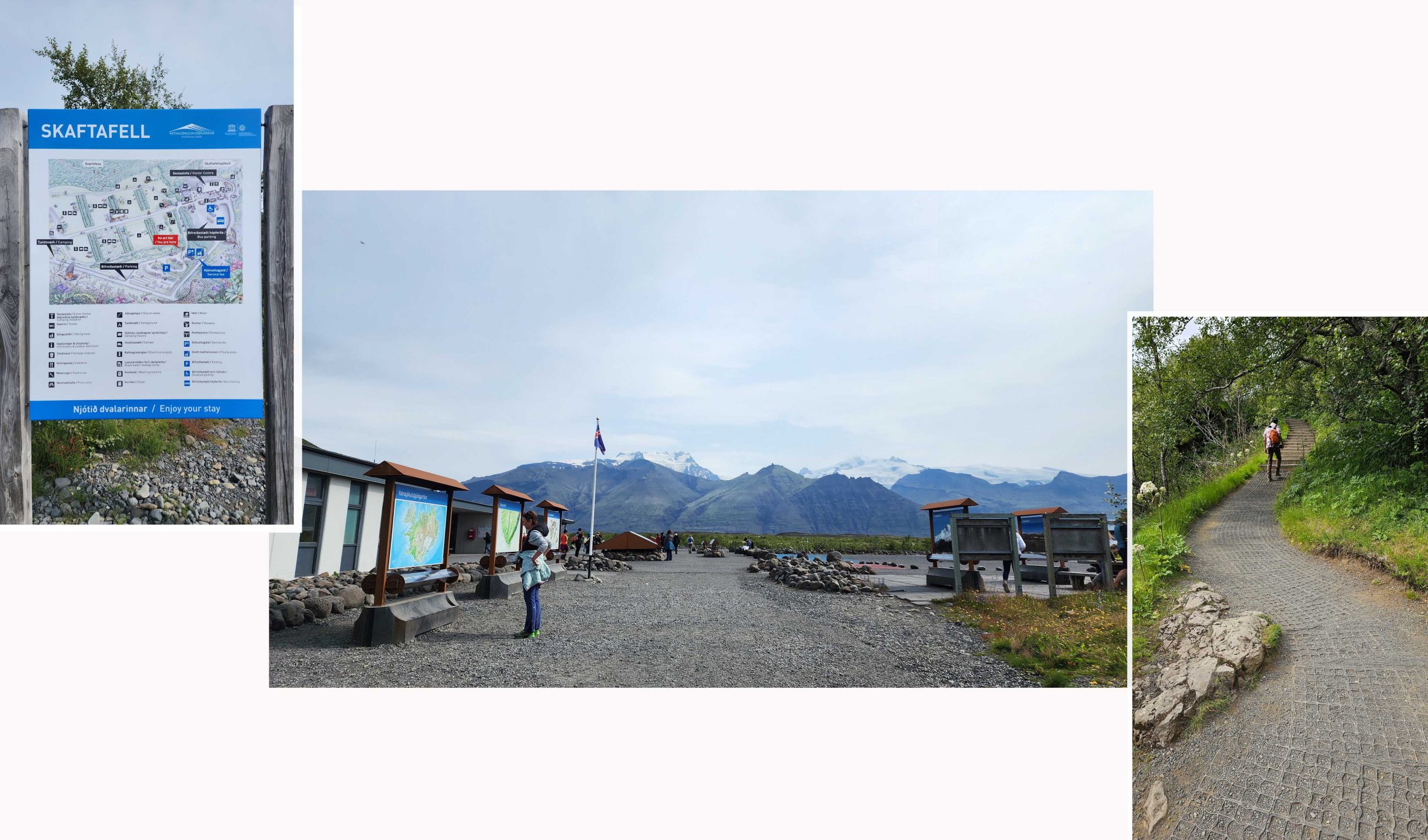
We saw a path going uphill that led to Svartifoss. We walked for about 1.5 km and reached a falls but this falls was not Svartifoss. This falls was Hundafoss which was midway on the route to Svartifoss. Hundafoss meant “dogsfall” as Hundur meant “dog”. It was named as such because during swelling of the river sometimes dogs from the farms floated off this waterfall!
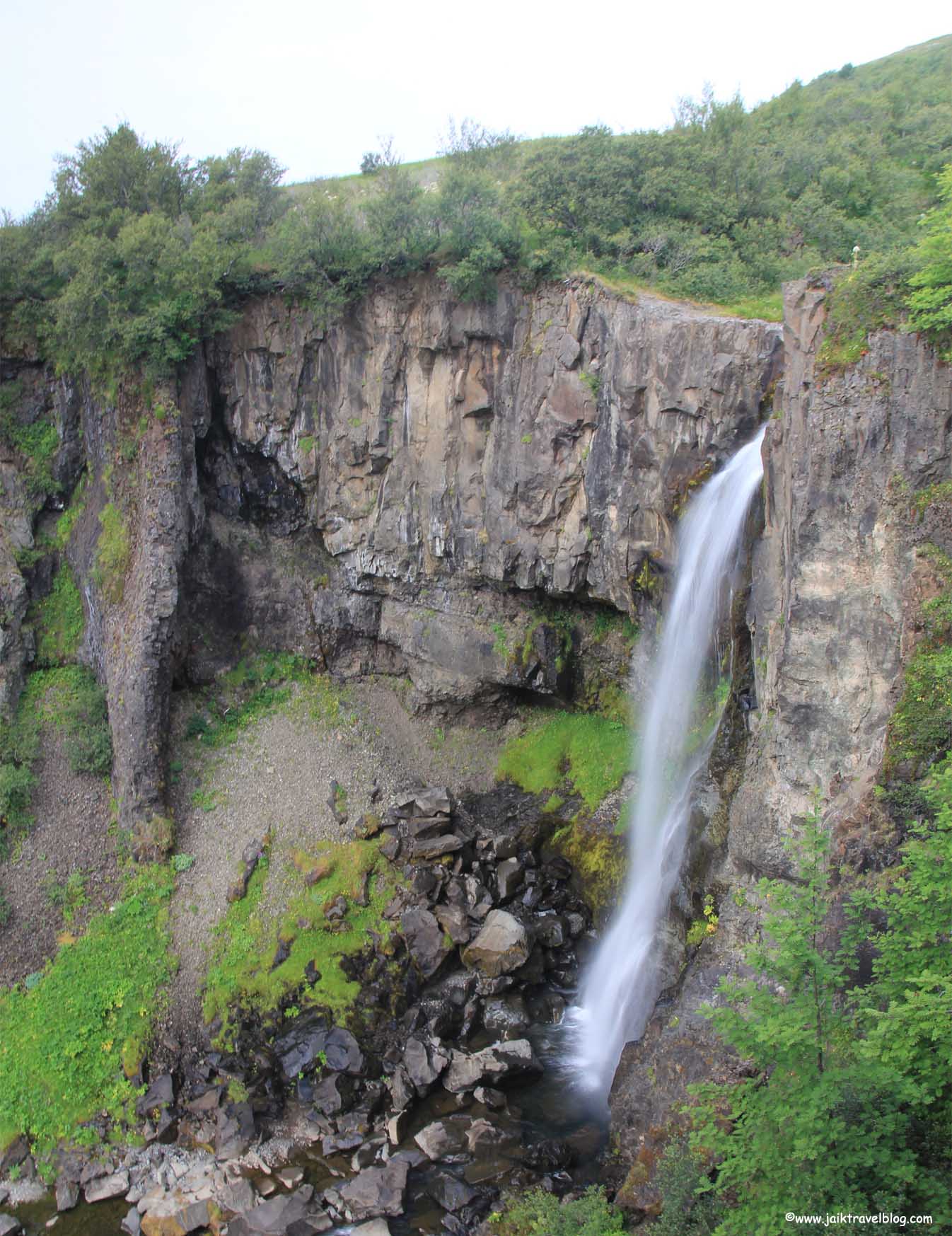
Hundafoss was “not great” or memorable and on “rain-less” and”dog-less” day it was rather insignificant. If Hundafoss was not along the way to Svartifoss, the 1.5km walked (uphill) was certainly not worth it.
After Hundafoss we needed to walk another 1 km to Svartifoss. Along the way the sceneries were pretty stunning. We saw great wide fields, ice mountains, grey mountain with sharp peaks.
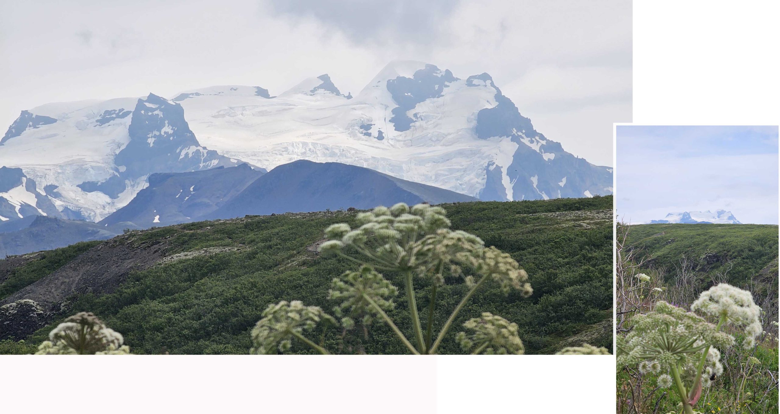
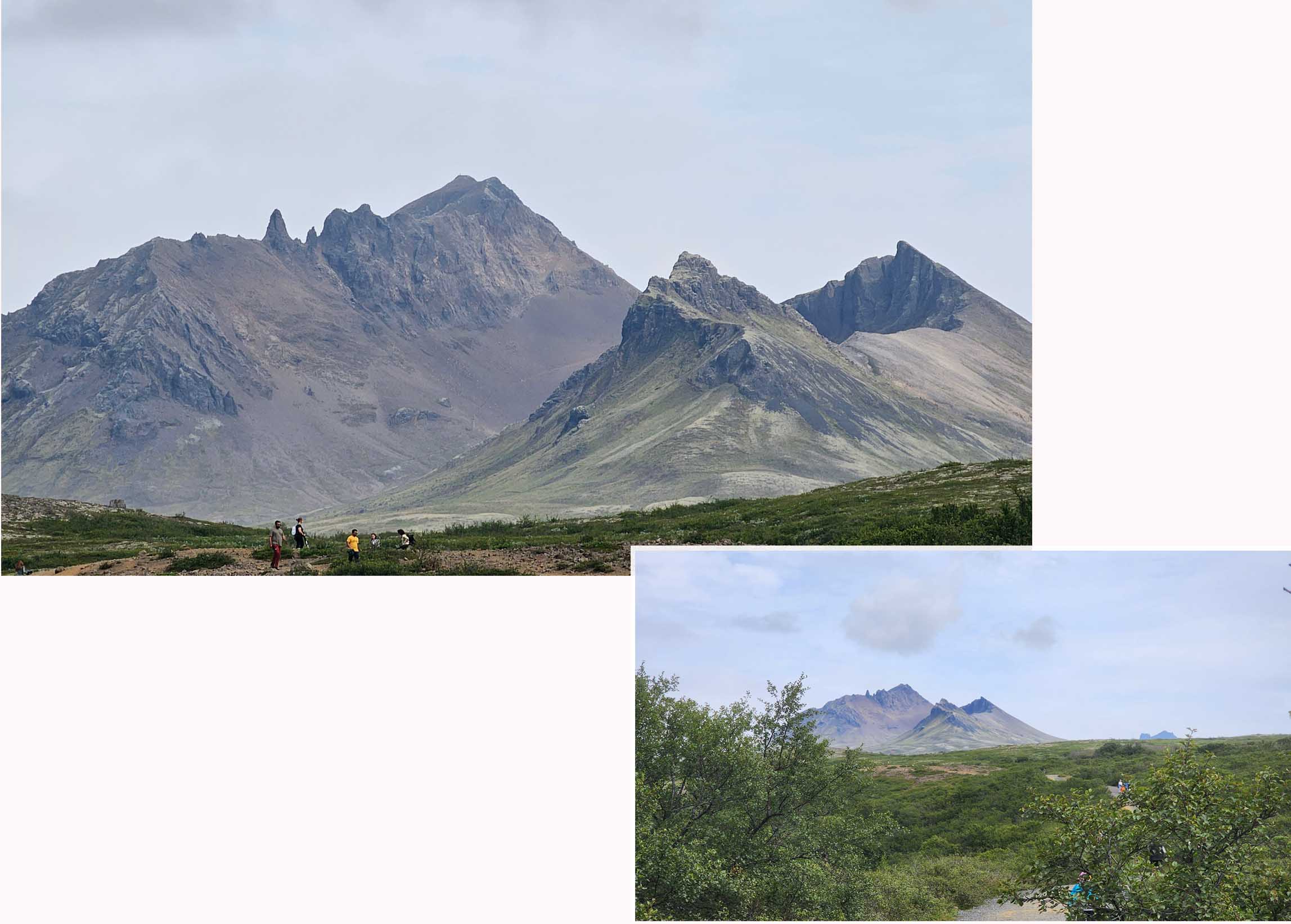
Svartifoss
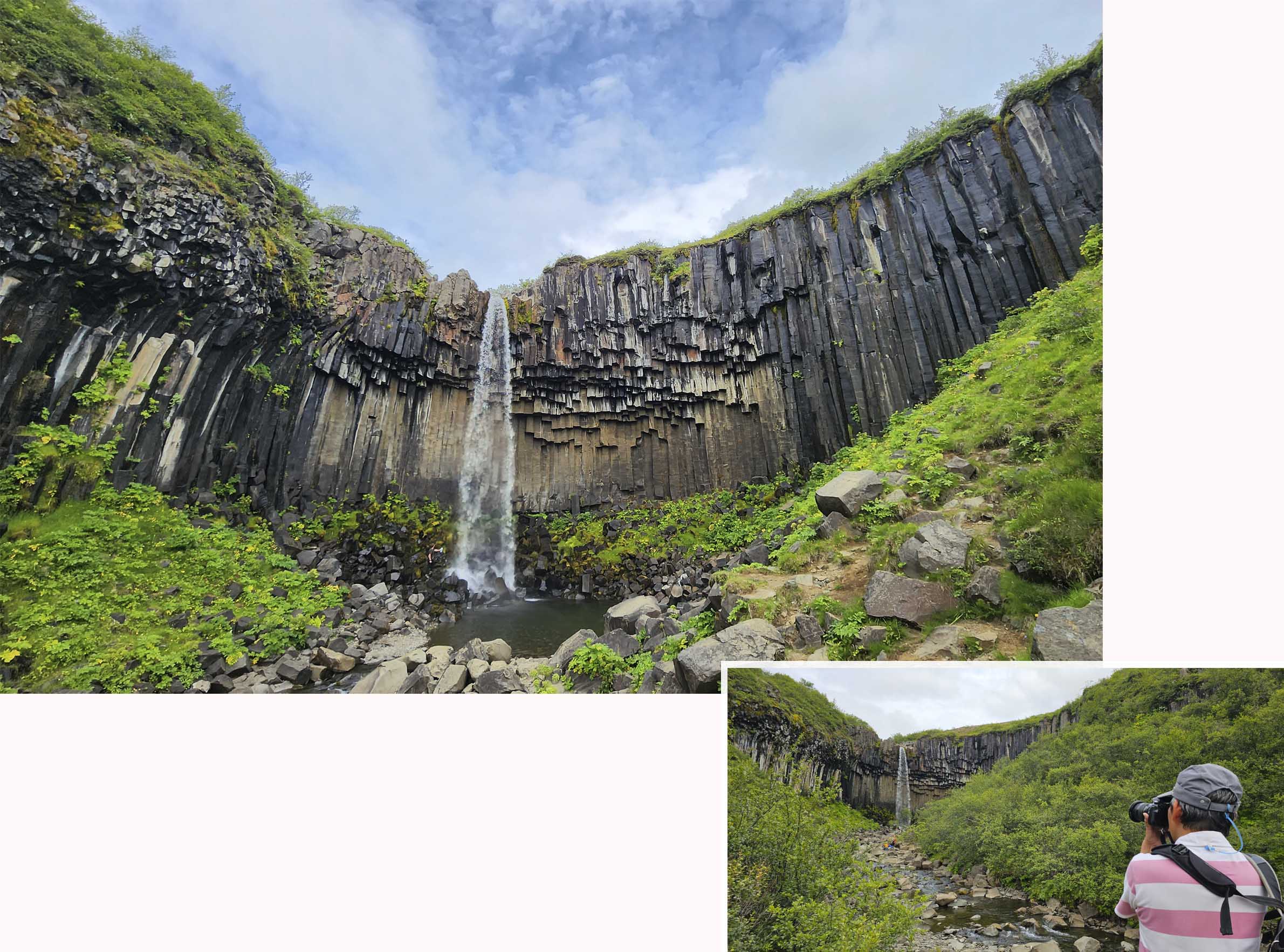
Finally we reached Svartifoss, from afar we saw something that looked like a big cavity in the ground. The wall of the cavity was padded with rock pillars that seemed like hanging upside down. These basalt columns started from the top but end at different depth into the cavity.
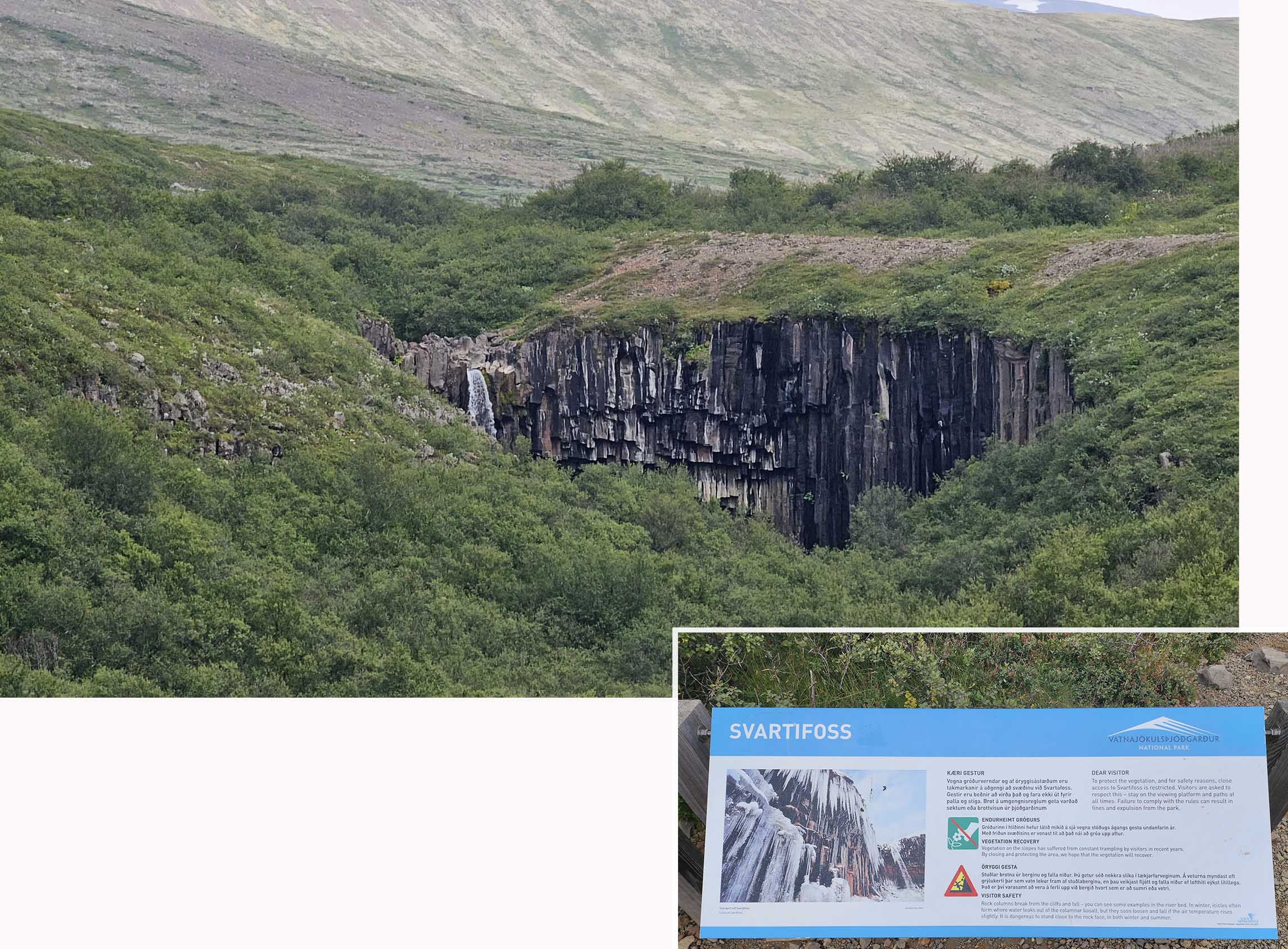
We saw a path that went down to the base of the falls. We went down and walked carefully to the falls over the rocky river bed. The falls looked fabulous and stunning from up close. The beautiful hexagonal hanging basalt columns that framed the cliff around the falls made Svartifoss so uniquely differently. The 2.5 km trekking from carpark to Svartifoss was definitely worth the effort.
Svínafellsjökull Glacier
One and a half hour later we were back at Skaftafell visitor center. After a short rest and a cup of cafe latte at the cafe we proceeded walking east. There was a path leading to a glacier tongue.

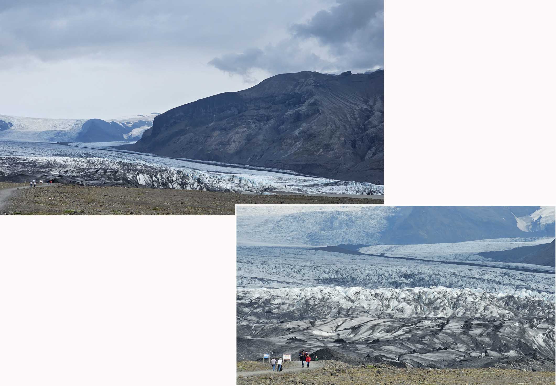
The round trip to the glacier was 4 km, the path was pretty good and flat. Svínafellsjökull glacier was one of the more than 30 glacier outlets of Vatnajokull Glacier. We remembered visiting a glacier tongue in New Zealand and it took forever to walk to the tongue. Luckily the walk to Svínafellsjökull glacier seemed much shorter.

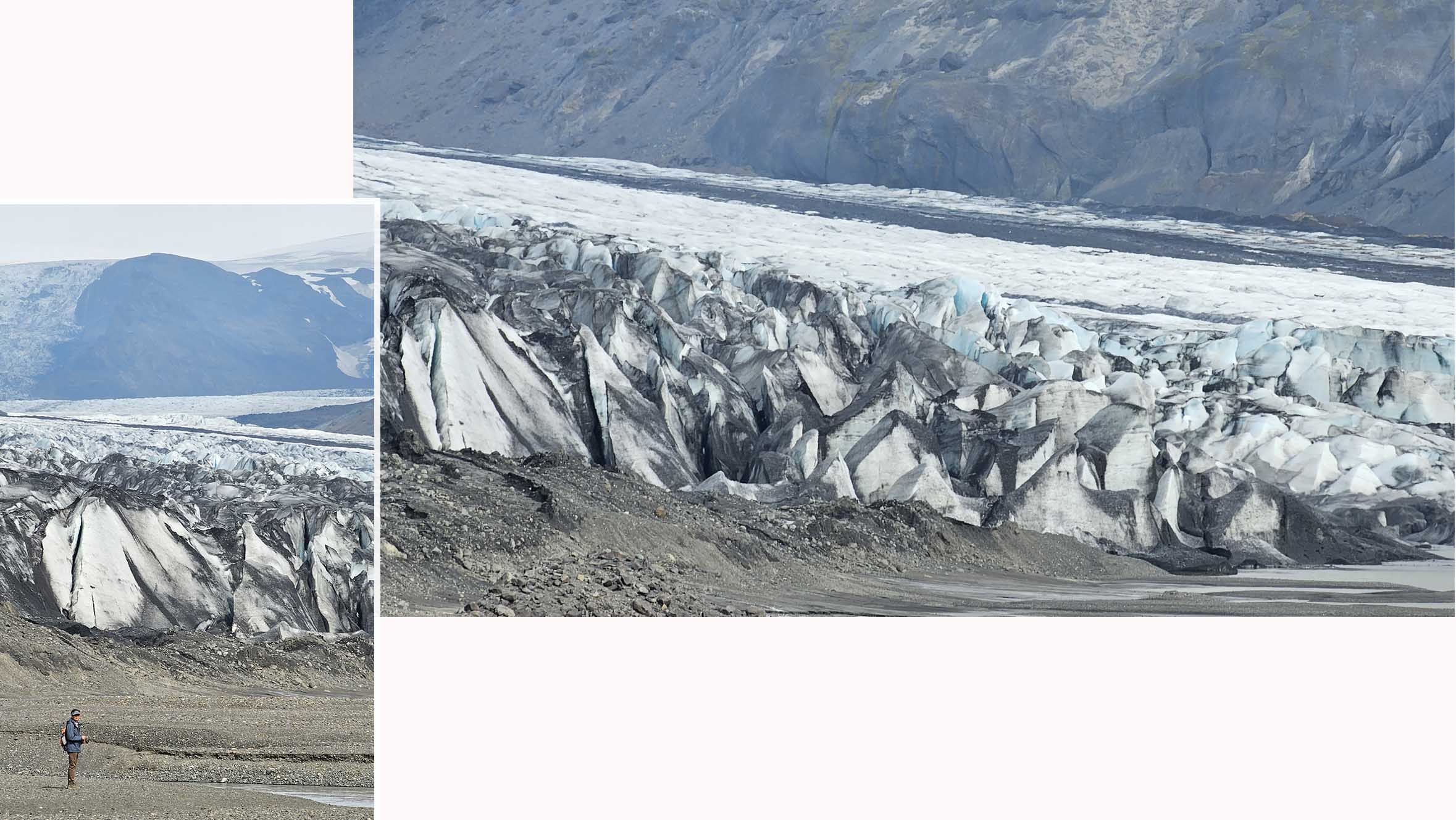
The sight of Svínafellsjökull glacier was unbelievable. It was huge and looked like columns and columns of gigantic white sharp icicle cones marching down to the plain.
We walked as close to the glacier tongue as possible. Just in front of the glacier were a wide patch of icy water which we decided not to cross.
Diamond Beach & Jokulsarlon Glacier lagoon
Diamond Beach and Jokulsarlon Glacier Lagoon was our last destination of the day. It a 45 minutes drive from Skaftafell Visitor Center to Diamond Beach.

It was in our plan to take a “boat” ride on the lake, Jökulsárlón Glacier Lagoon. But we reached the beach at about 4.30pm and all the “zodia” boat rides for the day were sold out. The only tickets left were for amphibian boat rides, so we quickly bought our tickets (126000ISK for two) before they too were sold out. Our amphibious boat tour would start an hour later.

Before the boat tour we had one hour to roam around on the beach. There were several paths, some leading near the water and others going up a hill where we had a “high” view of the gigantic floating ices in the lagoon. These ices were glacier breakoffs which had float down to the lagoon from the Vatnajokull ice cap. They were trapped in the lagoon because they were too big to float out of the channel that linked to the sea.
The black beach around the lagoon was famous for smaller ice pieces that supposed to look like diamonds, hence the name Diamond Beach. We did not walk far so did not find any “diamonds”.
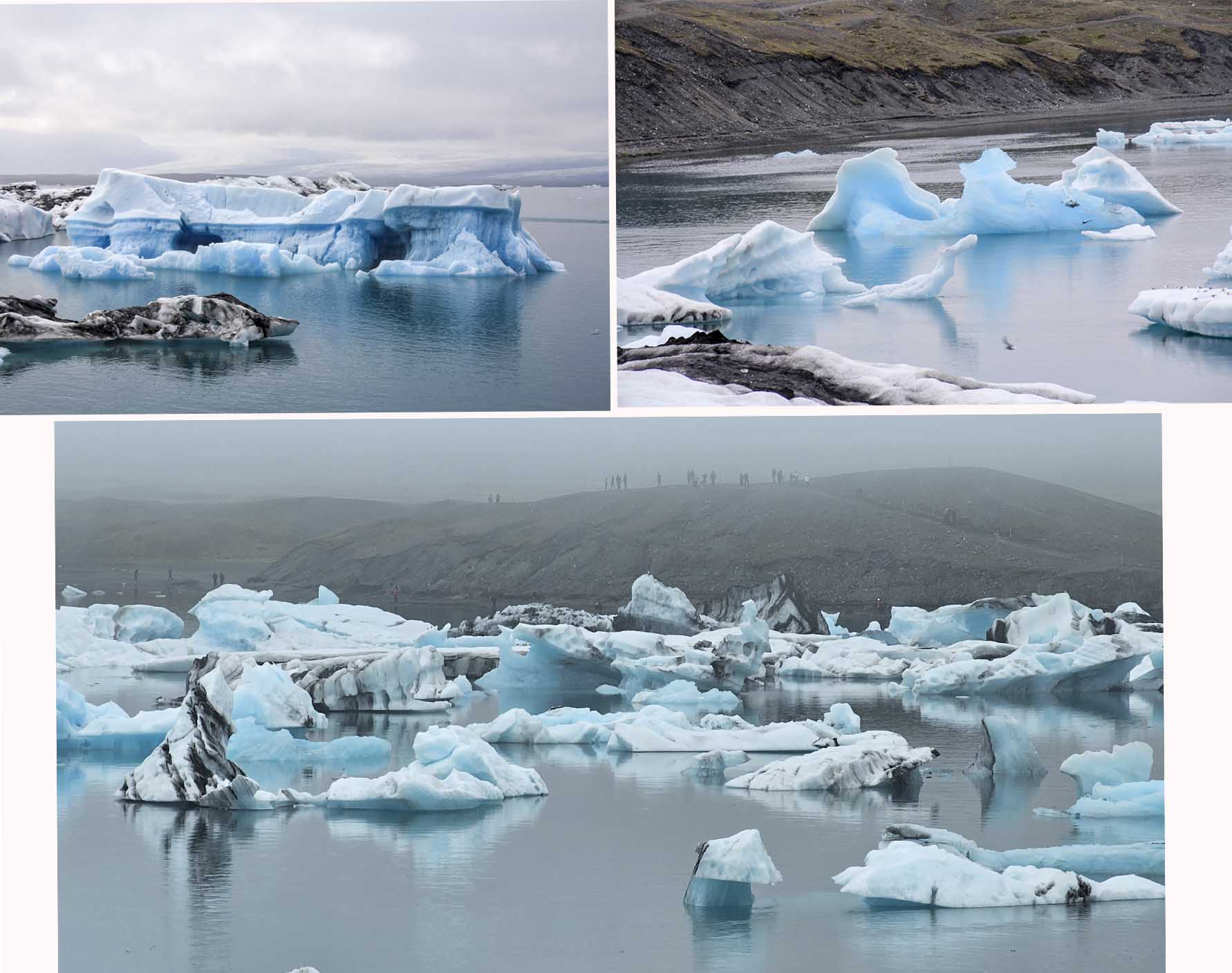
At about 5.30pm we went to the pickup location for the amphibious boat. There were 20 of us packed into the boat and we set off with a guide giving us great commentary. The boat drove on land for about five minutes before reaching lauching site into the lake. The boat ride allowed us to come up close to the floating ice. Some were blue, some were white and some of them had streak of black lines. According to our guide, each black line signified a volcano eruption as the ashes from each eruption created a black layer on the ice.
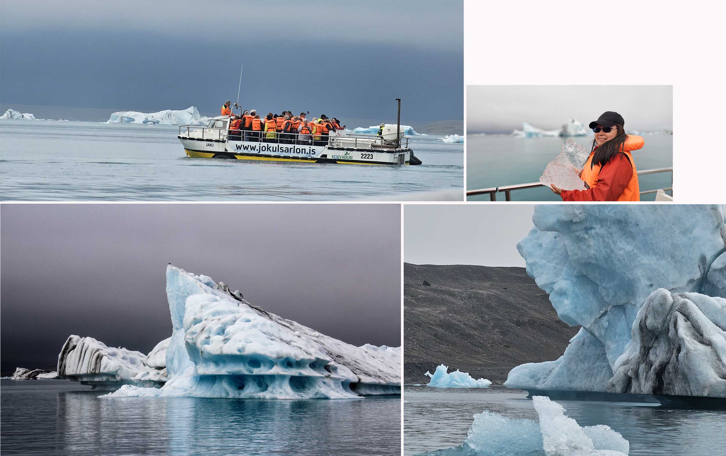
Jokulsarlon’s surface area was about 18 square kilometers. The lagoon formed naturally from melted glacial water and continued to grow as ice blocks crumble from the ever-shrinking glacier. The icebergs in Jokulsarlon were composed of ice that was over 1,000 years old!
Our Accommodation Near Diamond Beach
Our stay was a Skyrhusid HI-Hostel. It costed 28800 ISK for a twin room with shared toilet and no breakfast. The room was very small about 12meter square. The shared toilet was clean and decent and just a short walk down the corridor.

We booked Skyrhúsid HI-Hostel because it was the most reasonably priced hotel in the vicinity of Diamond beach. It had a good kitchen which allowed to prepare our dinner and breakfast the next day.

Our room in the hostel was small so we spent quite sometime in the shared kitchen/dining room which was bright and cheerful. We made our coffee and relax in the dining room as we went about slowly preparing our meals.

Great travel blog of Iceland. Question – where are the articles for day 9 and the rest? Please write and share.
Hi Eric,
Thank You for liking my blog. I am targeting to finish Iceland blog in another 4 weeks.