Final Morning at Vestrahorn
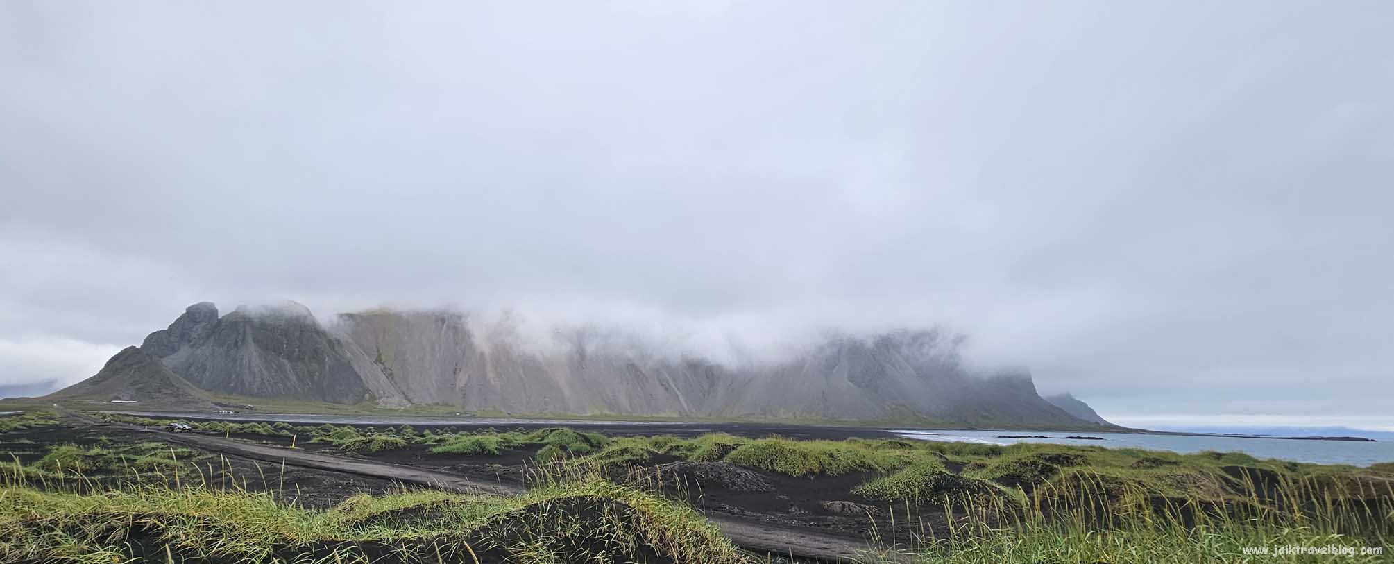
We left Vestrahorn full of regrets. The bad weather of the day before persisted into the next day. The mist was still hanging heavily in the air. We drove past the gantry again and arrived at the second carpark. We wanted another look at Vestrahorn.
At the carpark we walked eastward (to the left if facing the coast) crossed some black sand to have a better look at Vestrahorn. The top part of the mountain was still covered by white mist. We decided not to trek any closer as we believed we would not be able to photograph Vestrahorn with its full reflection in the shallow bay, a picture we saw on the internet that was so stunning, that brought us to this place.
We drove back the road (Stocksnesvegur) from where we came from the day before, for about 4.5 km before reaching the Ring Road and carried on our route forward on the road toward Seydisfjordur the town where we planned to stay for two nights.
Route to Seydisfjordur
We drove back the road from where we came from the day before for about 4.5 km before reaching the Ring Road and carried on our route forward on the Ring Road toward Seydisfjordur, the town where we planned to stay for two nights.

The drive to Seydisfjordur would take three hours so we planned to have a coffee break about midway, at a coastal town of Djupivogur. We also decided that we would randomly stop and come out to take photos whenever the sights were captivating. Before leaving for Iceland we had seen many beautiful stunning pictures along this route posted on the web.
Eystrahorn & Fauskasandur Black Beach
Driving on the road (Ring Road) on our left were mountain ranges and on our right the never ending sea. We tried looking out for Eystrahorn, a beautiful mountain in the Krossanesfjall mountain range about 40 km from Vestrahorn. Unfortunately, the heavy mist totally blocked out the upper part of the mountains so “nothing nice” on the left side.
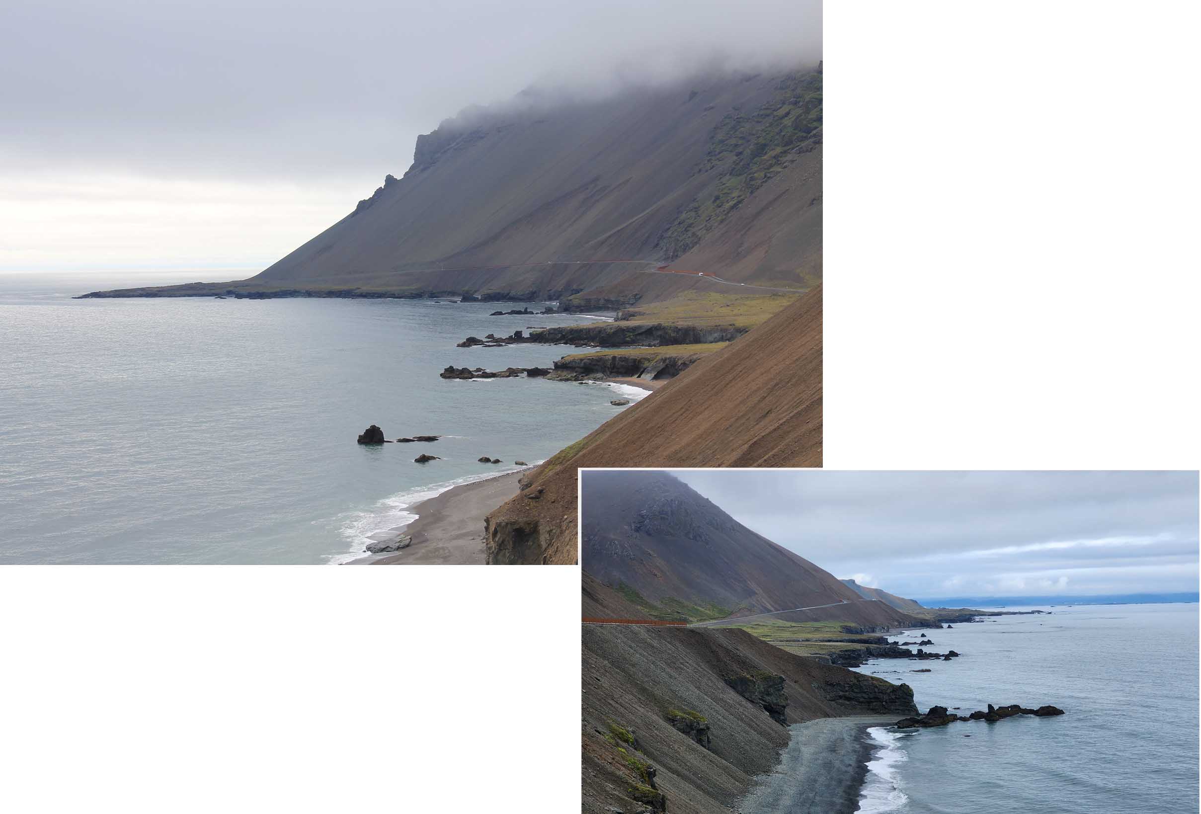
On the right side, the beach was black with interesting coastal contours. At Fauskasandur Black Beach we stopped for a break and did a little hike up a rocky peninsula protrusion that extended out into the sea. Nothing exciting just to stretch our legs and feel the cool breeze.

Two days ago, when we were at Vik, the weather was still bright and shiny but after passing Vatnajokull the weather turned gloomy … we wondered if it was always like this on the southeastern side of Iceland.
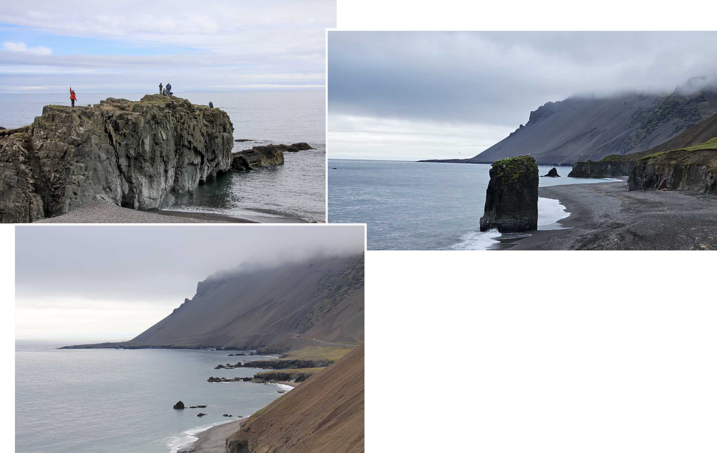
We were already into the final week of July and summer was more than midway into the season. We expected to see some very stunning, bright and green/flowery scenery by the slopes of the mountains with their peaks high and proud against the beautiful blue sky but sadly none were seen along the way.
Djúpivogur
After Fauskasandur Black Beach we drove forward targeting for the town of Djuplvogur where we would stop for coffee break. Nothing eventful until we were near Djuplvogur a couple of kilometers before turning out of the Ring Road into Djuplvogur.

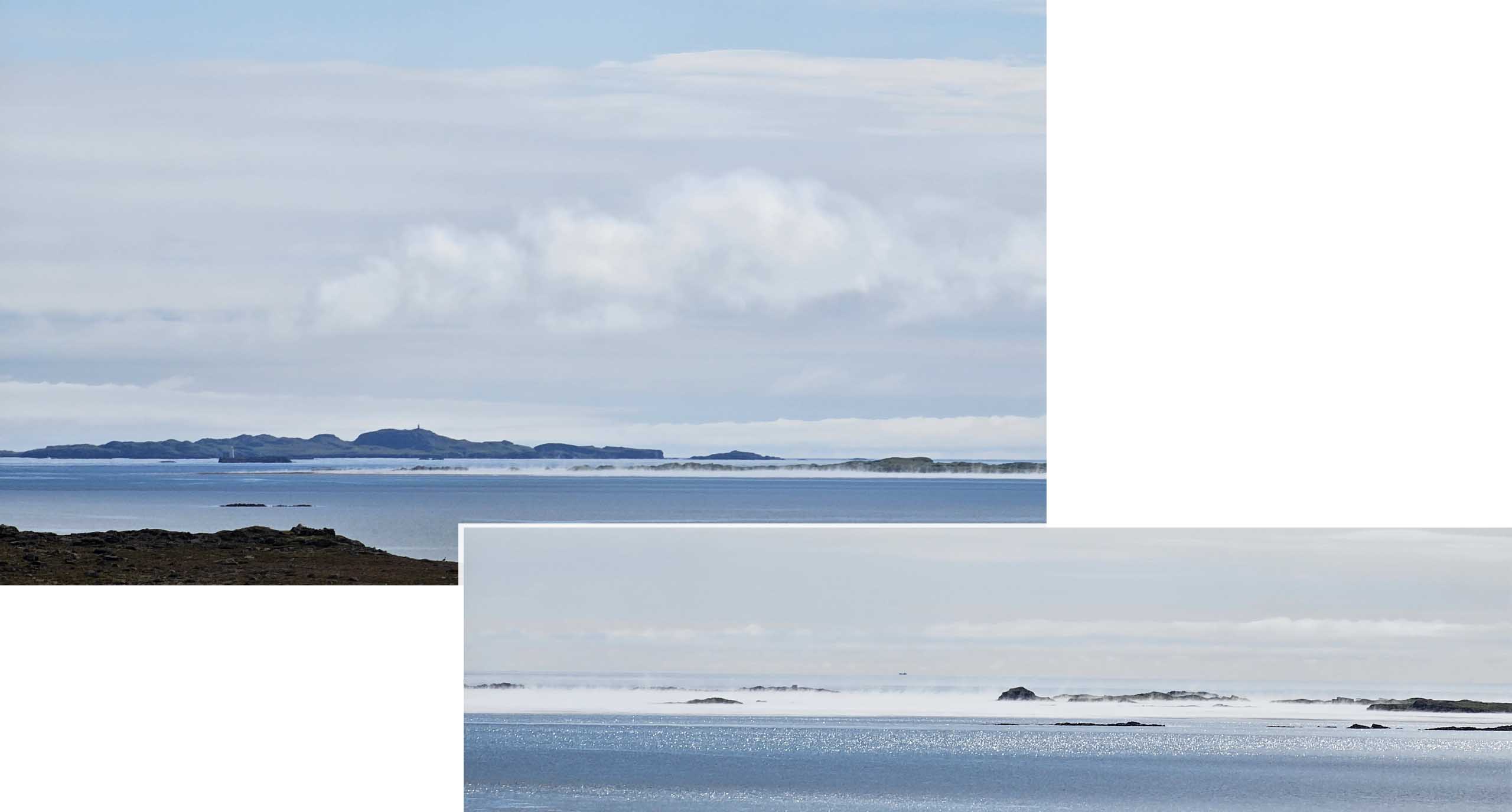
We saw something “unexplainable” near the coast. A long horizontal stretch of water in the sea had vapour rising out of it. What was it? Was it a fissure below in the seabed and the vapour was due to something volcanic below? We met a group of locals who were equally fascinated but was unable to explain the cause the rising vapour.
Once we turned off the Ring Road to detour into Djúpivogur, a small coastal village, we zoomed into a cafe with the most “stars” rating on google map. That was how we found Langabud Cafe in a red building and went in for coffee. Surprisingly there were many people in the cafe taking their meals. The cafe did not sell the cakes like (Tiramisu, chocolate cakes etc) so it was just cafe latte for us!

Langabúð cafe was in the oldest building in Djupivogur, dating back to 1790. In the same building on the other side of the cafe was a museum which we would need to pay for entry. We were not “into” museum so we left.
Route 93: Egilsstadir to Seydisfjordur:
After our coffee break we were back onto the Ring Road and drove forward on till we reached Egilsstadir where we turned right off the Ring Road onto Route 93 which was the only road in and out of Seydisfjordur.

Egilsstadir town was actually a more convenient place to stay, for us to visit Litlanesfoss and Hengifoss the next day and yet we chose to stay in Seydisfjordur which was some 28km away. We chose Seydisfjordur because it looked like a lovely scenic coastal town so did not mind the additional distance.
We did not know that Route 93 actually went up a mountain to get to Seydisfjordur which on the other side. As we drove up the mountain the mist became denser and at its peak we could not see far ahead of us even with our head light turned on. Once we were over the peak and descended, the mist gradually became lighter.
We drove on this Route 93 four times during our two days stay in Seydisfjordur and each time at the peak the heavy mist was there. We got a glimpse of “wet” lands and lakes all around us and our car.
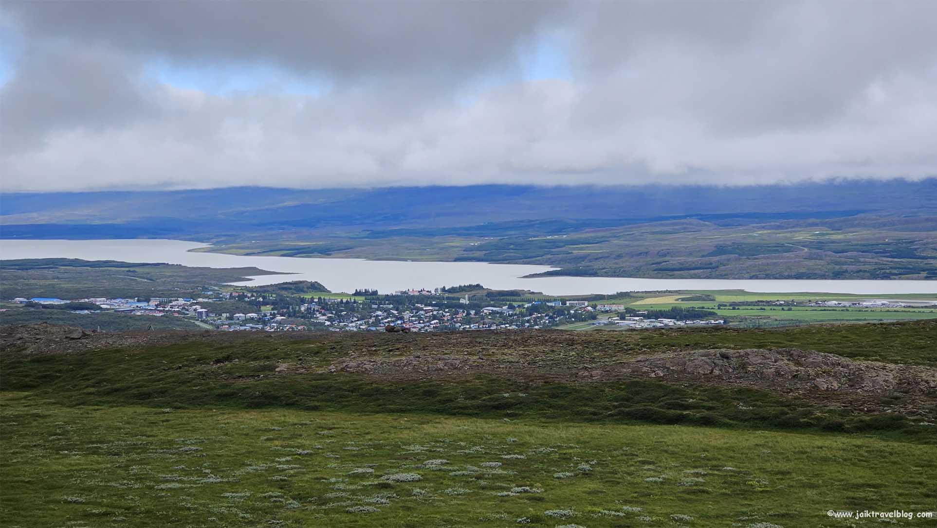
On the second day, the mist was lighter which gave us some opportunities to explore the land around Route 93 especially the section winding down the mountain where we could see Seydisfjordur. There were a couple of small carparks where we could leave our car. We trekked around looking for a good point to shoot a photo of Seydisfjordur at a distance down the mountain.

It was a cold wet day. It was not raining but there was a heavy mist in the air. How we wished the sky was clearer and bluer for better photo-shooting but even on a misty day Seydisfjordur looked amazing from this high viewpoint. We saw a stream and a short green bridge further upstream so we walked over to explore. On approaching the bridge, we saw a waterfall. 
Waterfall
Checking on google we could not tell the name of this waterfall. It seemed to be called “Wasserfall” or “Haifoss”.
Gufufoss
Gufufoss was located practically directly on Route 93. It was just 4 km from Seydisfjordur. There was a carpark nearby too. We passed the falls 4 times during our 2 night stay in Seydisfjordur.

Apparently Gufufoss was the largest waterfall in this region (Seydisfjordur). It looked similar to Skogafoss but not as huge. Unlike the more famous falls, Gufufoss did not have many visitors. We were the only people at the falls. This falls was 27metres tall and its water was due to the melting of ice starting in spring and by autumn Gufufoss would have shrunk to about two-thirds of its usual size.
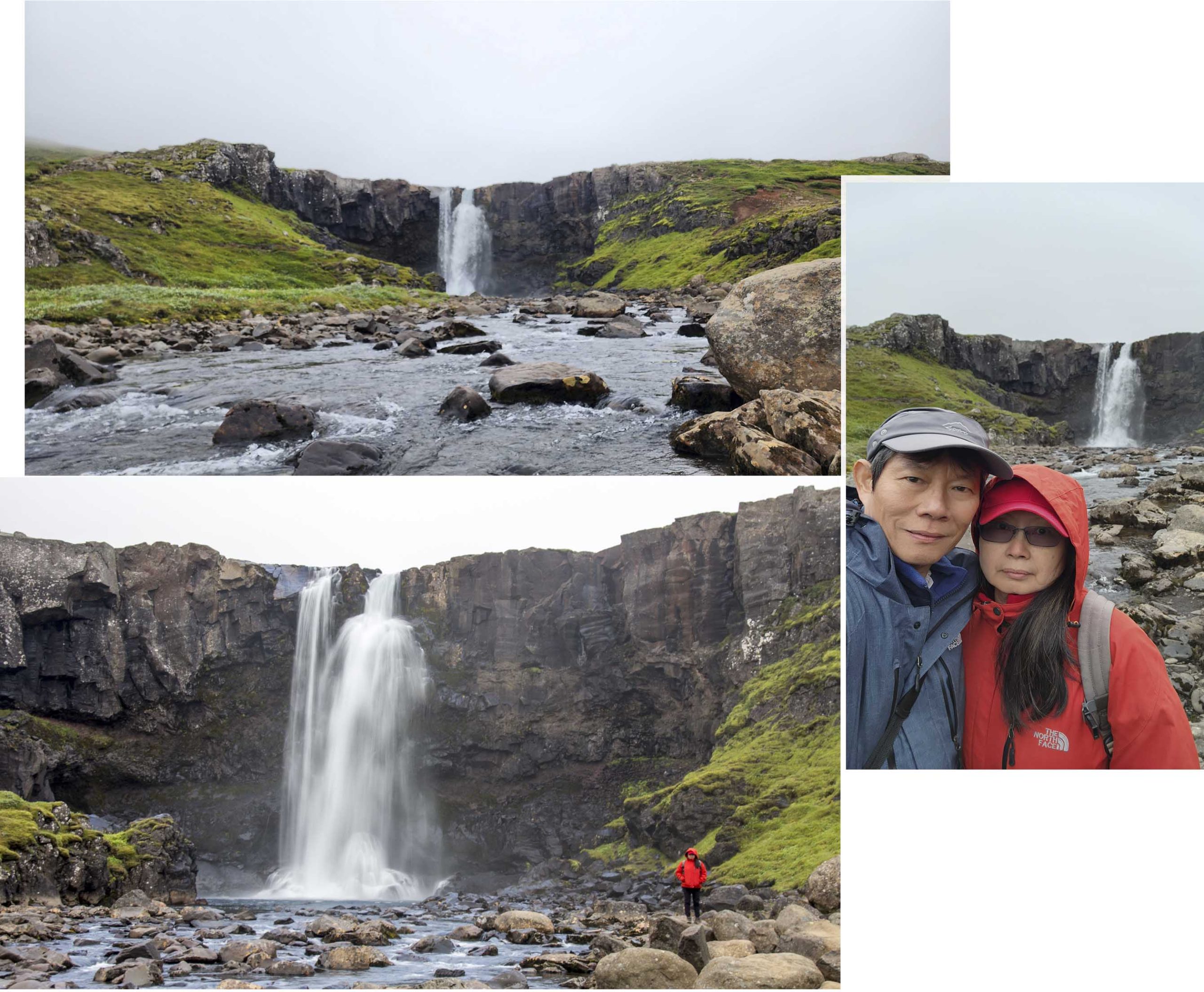
We visited Gufufoss twice, both the times were when we were returning to our hotel in Seydisfjordur. During the second time the weather was better and that gave us the opportunity to walked (hopped over rocks and boulders) as close to the fall as it was safe.
Seydisfjordur
Seydisfjordur was a coastal town with brightly colored houses. Our fascination with Seydisfjordur started when we saw a picture (on the web) showing a view of Seydisfjordur seen from far. It shown a beautiful coastal town at the base of a valley with golden color sloping hills and turquoise sea. That picture must have been taken when the weather was bright and sunny!

The town was not very big and did not take much time to walk around the main part of town. It had a rainbow street leading toward a church. Unfortunately, most of the shops were closed when we were there. Luckily the supermarket was open and we had a great time stocking up our grocery.

Litlanesfoss & Hengisfoss
We visited Litlanesfoss and Hengifoss on the second day. From Seydisfjordur we drove to Egilsstadir on Route 93, then there was two ways (Route 95, Route 931) to get to Litlanesfoss one on of each side of the river Lagarfljot.

We turned onto Route 95 and drove about 40 minutes before coming to a bridge where we crossed it and soon arrived at Hengifoss Carpark.

Hengifoss Carpark was a nice carpark and it was free! Nearby were an information board about the waterfalls and a van selling beverages.

The walking trail to Hengifoss was 2.5km (uphill) and midway we would be able to see Litlanesfoss. As we walked up the slope we could see several streams of waterfall in a distance ahead and wondered which of them was Litlanesfoss or Hengifoss. Soon we could see many basalt columns on the exposed face the cliff. Ton and ton of basalt columns.
After walking for about 30 minutes we heard loud water gushing sound and soon we saw Litlanesfoss from afar. From a distance the falls seemed like it was gushing out from a big hole near the top of a mountain of basalt columns.

We were looking at Litlanesfoss from near its top and could see that the falls splashing into a blue pool at the base. Unfortunately, there was no better position to have a good frontal view of the falls so we could not exactly see how the water emerged. There was also no obvious path leading down to the base of the falls.
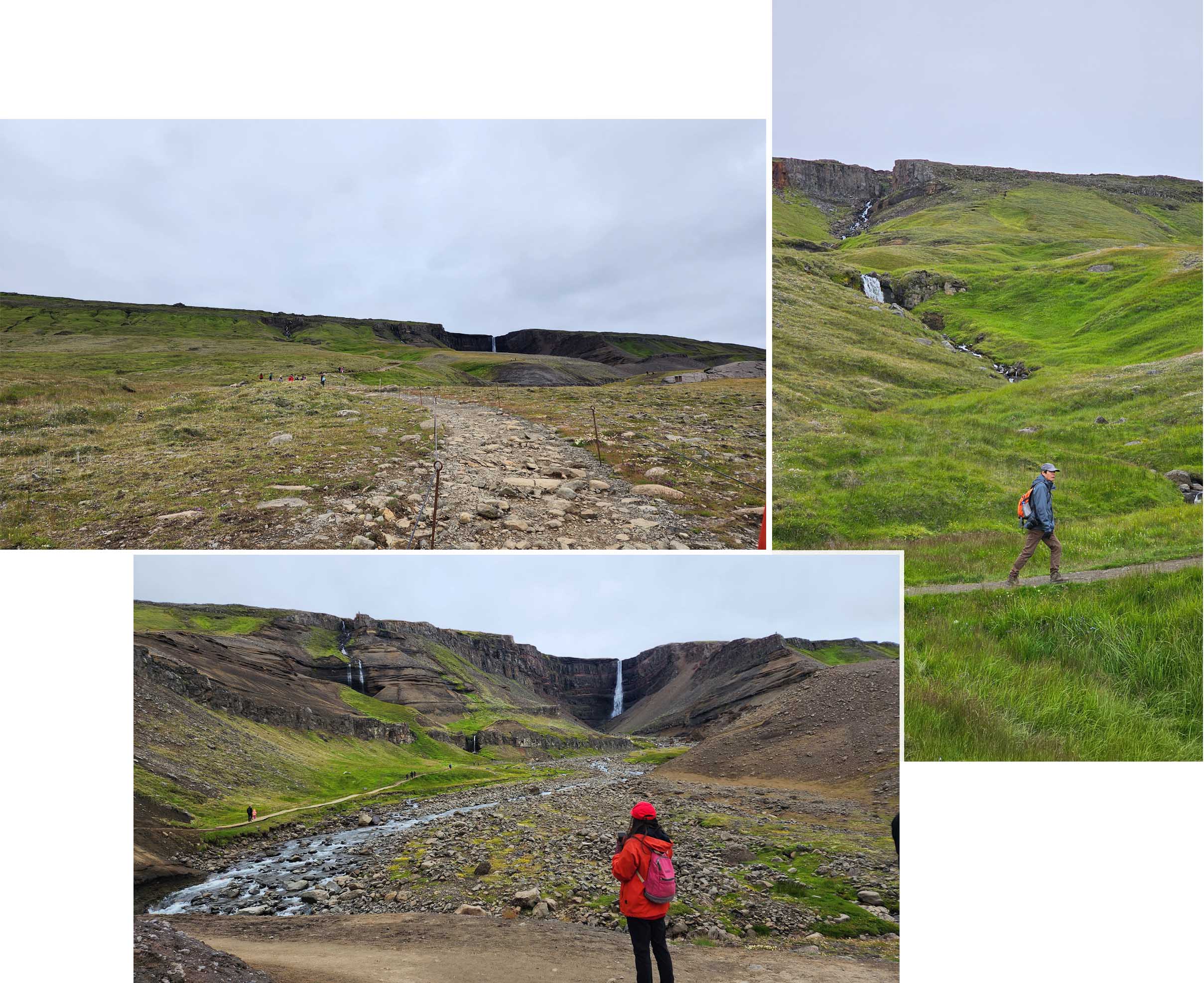
We left Litlanesfoss and carrying on forward to Hengifoss.
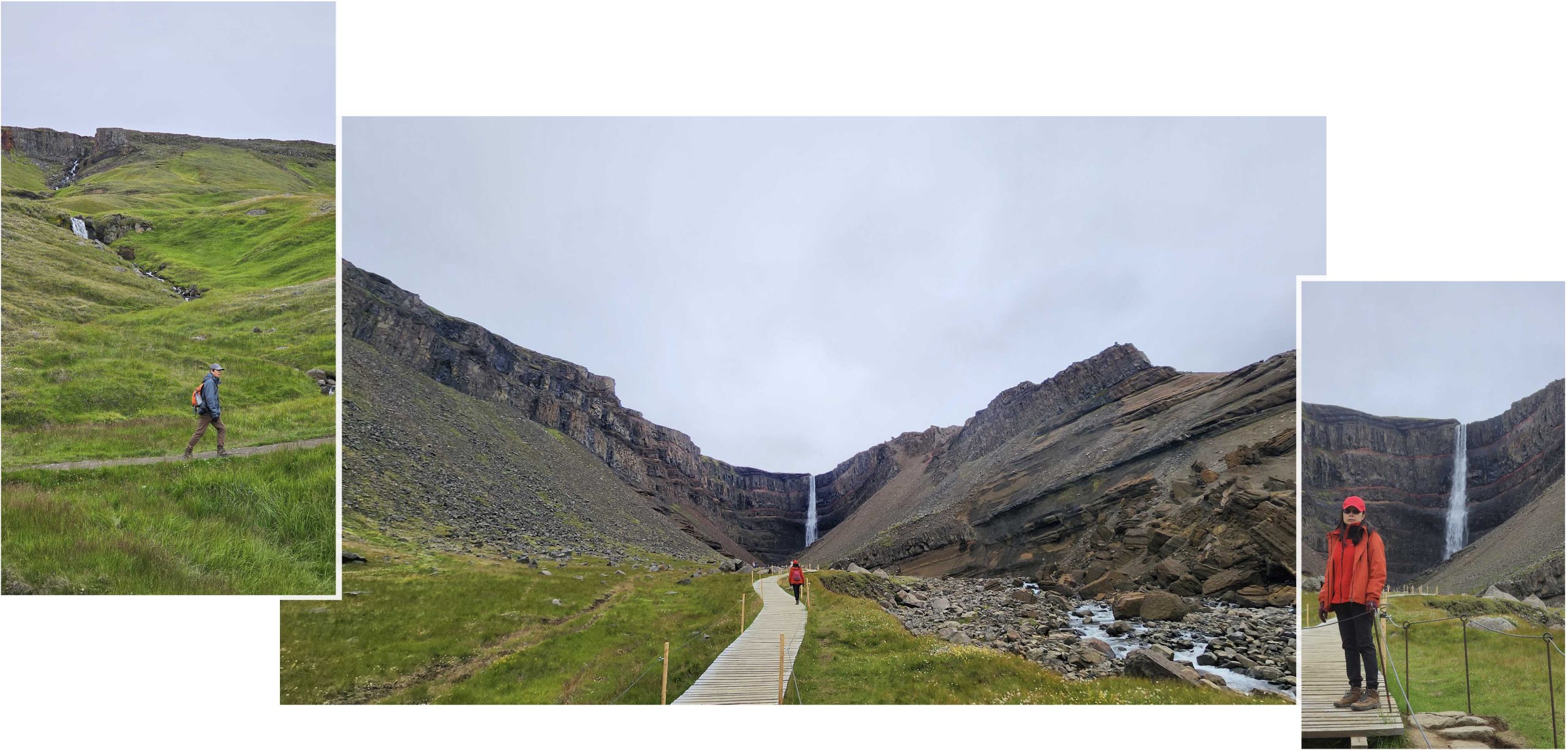
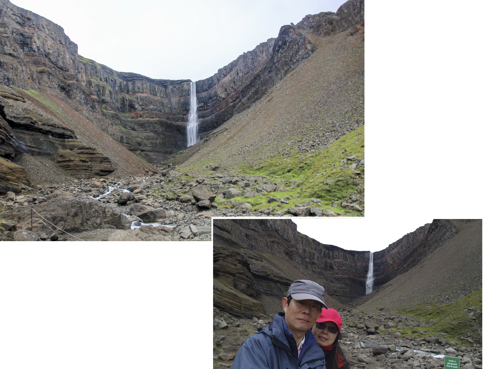
Near Hengifoss we saw that there were two paths to view the falls, one lead to the base of the falls and the other was onto a bridge that faced the falls. From far the falls looked fascinating, the cliffs where the water fell off were shape like a bowl and there were several horizontal red stripes on the cliff.
We walked till the end of the boardwalk. Thereafter were rope barricades and signs telling visitors not to proceed further. But we were still far from the very end of the falls, we still could not see the base of the falls!
Hengifoss was 128 metres high and was the second tallest waterfall in the country for a while until another falls higher than Hengsfoss was discovered. It was unique compared to the other falls that we had seen so far because of the red lines that ran horizontally across the sheer circular cliff that surround the waterfall.
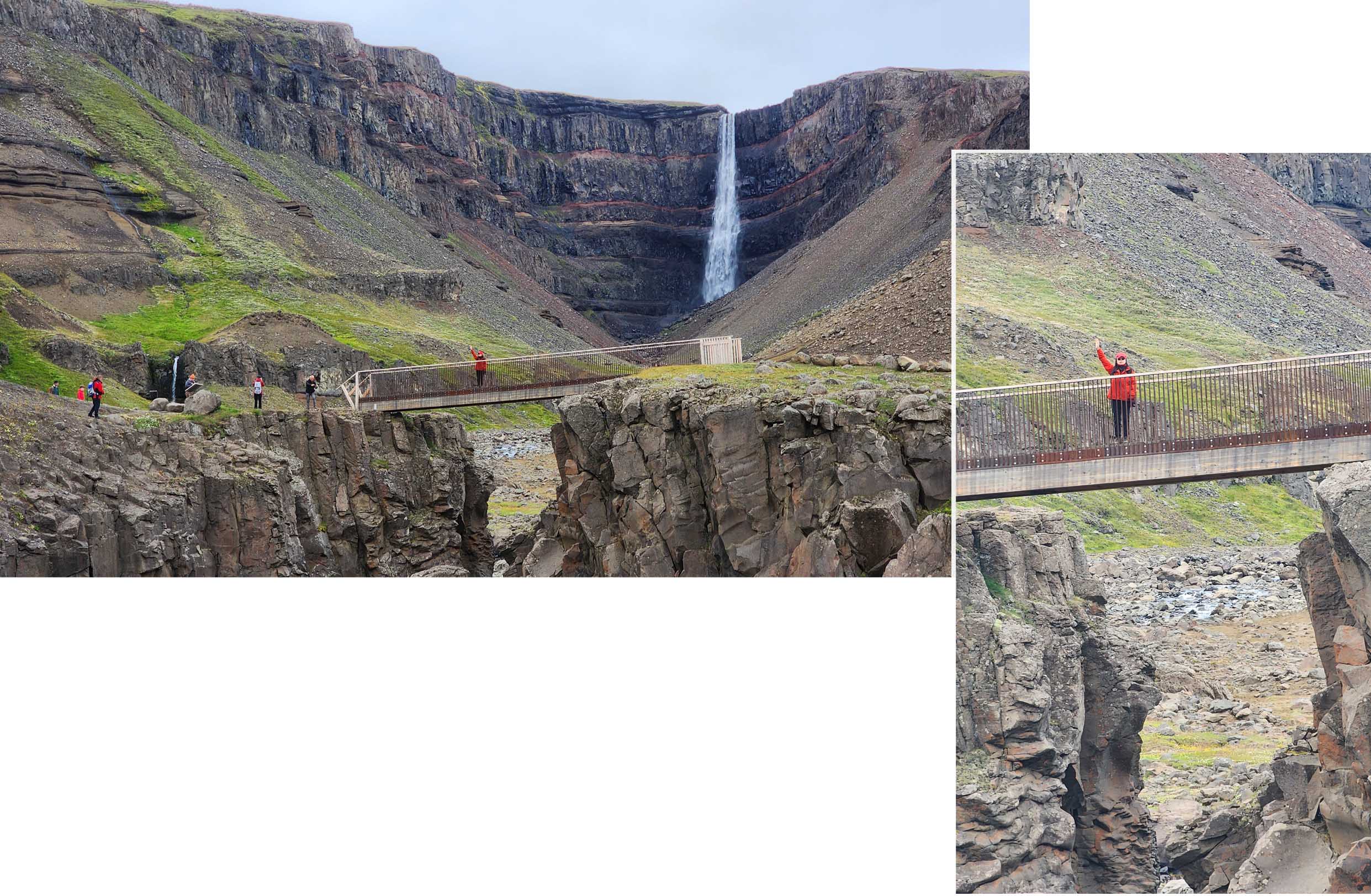
On the way out we detoured to the bridge to see if we could have a better view of the falls. On the bridge the view of the falls looked the same and we still could not see to the very base of the falls.
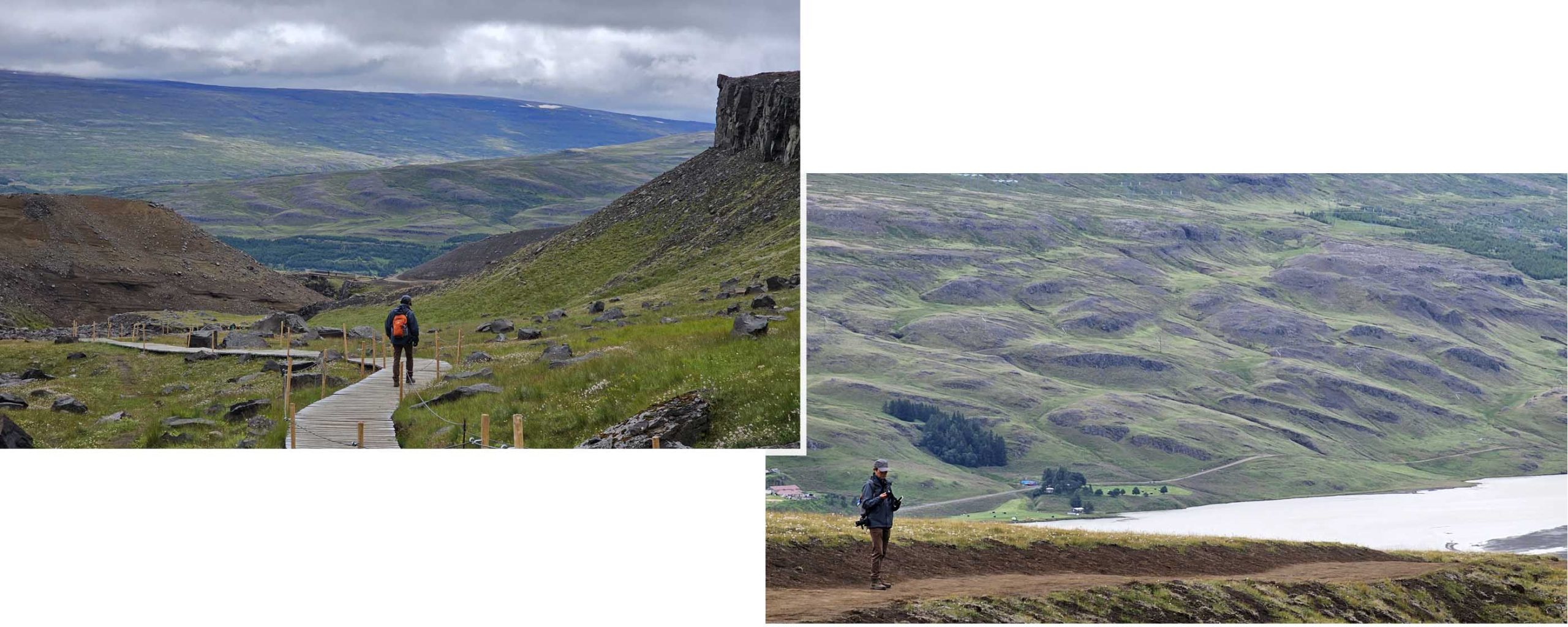
After we were done with Hengifoss we turned back to return to the carpark. Since all the destinations for the day were completed, there was no great hurry to rush back. The walk back was a very scenic experience. The green/brown undulating ground, the green cliffs at the side and the bright “white” river ahead, all put together was very beautiful. Surprising on our way in, while walking on the same route we did not notice their beauty. We were focusing on reaching the waterfalls and forgot to look back.
Our stay
We stayed in Hafaldan HI Hostel in Seydisfjordur. The cost of a small twin room was €263 for two nights which did not come with breakfast and the room did not have a private toilet. The furniture in our room seemed old and there was a wash basin which provided some convenience. Our room was on the 2nd level.

Hafaldan HI Hostel was refurbished from an old school which accounted for its strange layout. Shower rooms were all located in the basement. It was a row of three shower rooms for all guests. Just before the showers rooms was a “common sitting area with a huge mirror”. “Were we supposed to “relax before shower”? Sigh… the doors of the shower room could be properly secured.
There was one toilet (with WC and no shower) on our level and a similar one on the ground floor for the guests to share.

On the ground floor directly in front of the main door was a reception counter. We arrived at about 4pm in the afternoon and the receptionist/staff had already left for home. We did not panic but sieved through some papers/information on the counter and found a note indicating our room. (We had similar experience elsewhere before)
On the same level, to left of the reception counter was a cosy and “welcoming” common space/room for reading and “kid” playing. On the left was a large kitchen cum dining room.

Unless we were sleeping, we actually spent more time in the dining cum kitchen. The place was bright and cheery and had all the appliances and utensils to prepare our meals. There was a supermarket near the Hafaldan HI Hostel and we were only too happy to stock up our grocery. We even bought ice-cream and made affogato for two days.

For this trip we brought our small moka pot to make nice coffee, and at Hafaldan HI Hostel we pampered ourselves with affogato.
